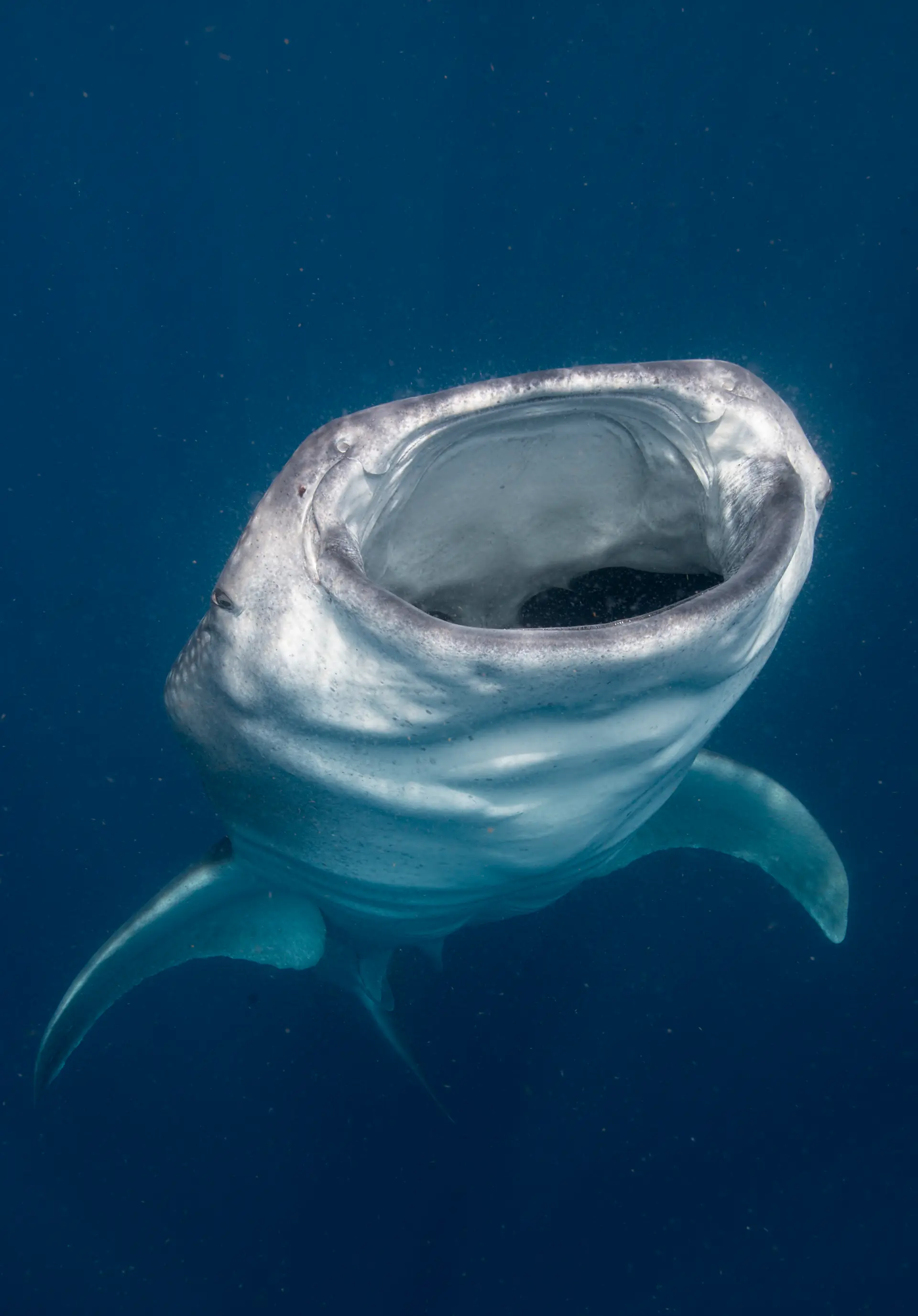
Cocos Island
Costa Rica · Eastern Pacific
Cocos Island sits 550km off the Pacific coast of Costa Rica — a rainforested rock surrounded by deep water and one of the planet's great shark aggregations. Schooling scalloped hammerheads, Galápagos sharks, silkies, tigers (occasional), tuna, marbled rays and resident dolphins. Liveaboard-only, with a 30–36 hour crossing each way.
Parque Nacional Isla del Coco
Platinum tier · Awarded 2025. Upgraded from Gold to Platinum in 2025.
How this reef is doing
ⓘ How we measure thisReef state
Reef fish biomass inside this fully protected park averages 7.8 tonnes per hectare, among the highest in the tropics and nearly 40% apex predators (Friedlander et al. 2012); long term monitoring shows some shark and ray species declining, so the state here stays measured rather than improving.
Coral cover
Fish life
More fish than a healthy reef of its kind.
Heat
Warmer than usual right now, but not hot enough to bleach.
Fishing
Quiet water, and fishing is fully banned here.
Sources · Reef survey · Reef Life Survey · NOAA Coral Reef Watch · Global Fishing Watch and reef gravity
Coral cover over time
Live coral cover, by survey year
Across surveys in 2014 and 2024, live coral cover here has fallen from 32% to 27%. Every point is a real survey reading, never a projection.
Live coral cover, percent by year
| Year | Coral cover |
|---|---|
| 2014 | 32% |
| 2024 | 27% |
Fish life over time
Fish seen per survey
Across 8 years of REEF volunteer surveys around Cocos Island, divers have recorded a steady amount of fish per survey. It is the fish life graded in the reef card above, shown here over the years, standardised for survey effort.
Fish seen per survey, by year
| Year | Density index | Surveys |
|---|---|---|
| 2003 | 2.38 | 44 |
| 2007 | 2.40 | 19 |
| 2008 | 2.14 | 10 |
| 2010 | 2.48 | 26 |
| 2014 | 2.19 | 21 |
| 2018 | 2.43 | 19 |
| 2020 | 2.42 | 21 |
| 2023 | 2.45 | 21 |
What you will see
15 species across the dive sites here
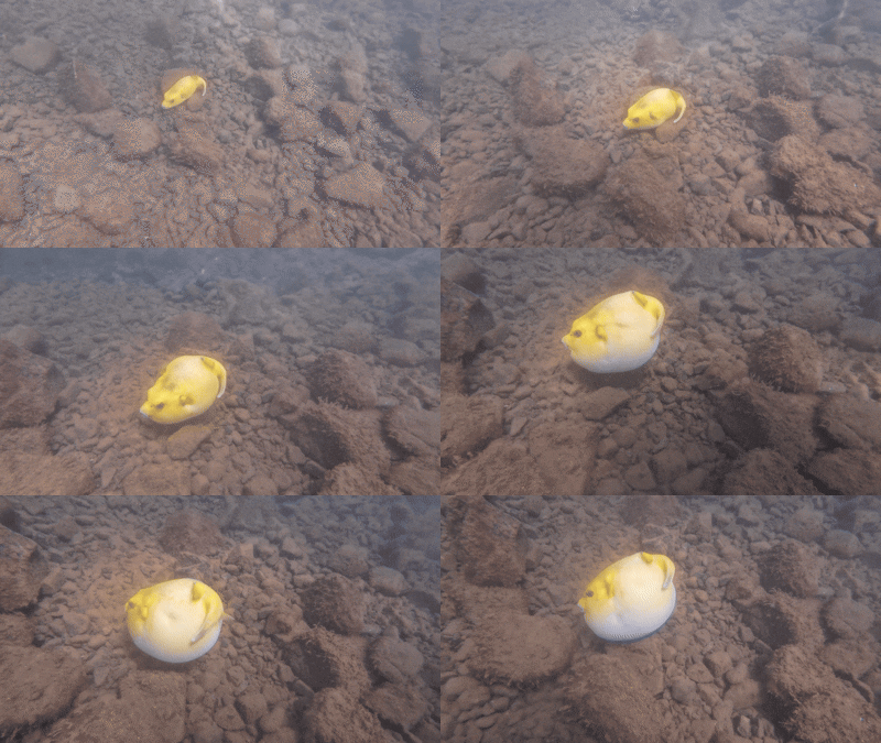
Guineafowl Puffer
Seen 6 months ago
at Bajo Alcyone
Least concern
Scalloped hammerhead
Seen 6 months ago
at Bajo Alcyone
Critically endangered
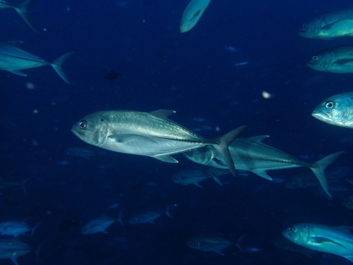
Bigeye trevally
Seen 8 months ago
at Dirty Rock (Roca Sucia)
Least concern
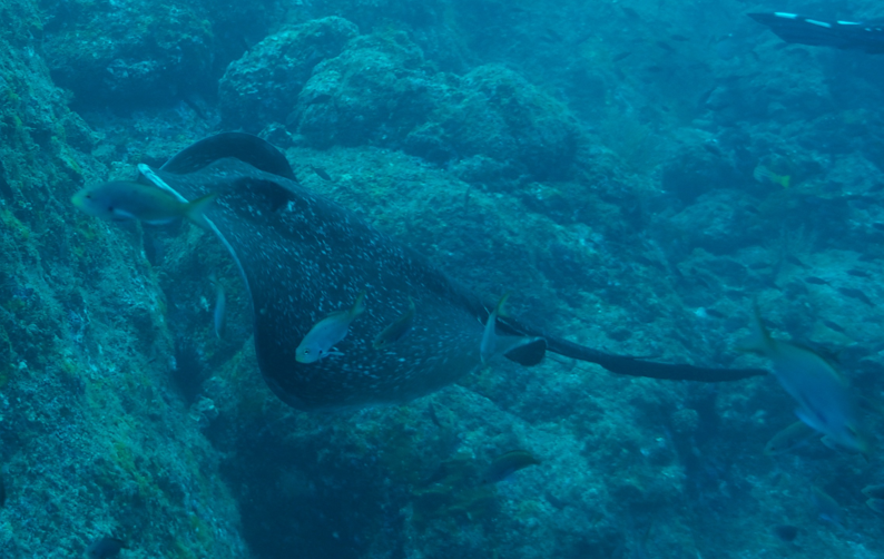
Marble ray
Seen 8 months ago
at Manuelita Island
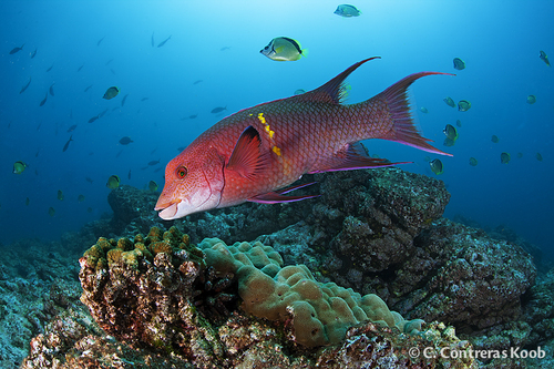
Mexican Hogfish
Seen 8 months ago
at Bajo Alcyone
Least concern
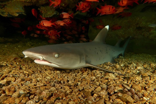
Whitetip Reef Shark
Seen 8 months ago
at Bajo Alcyone
Vulnerable
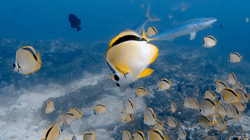
Barberfish
Seen 8 months ago
at Dirty Rock (Roca Sucia)
Least concern
Marbled ray
Seen 8 months ago
at Dirty Rock (Roca Sucia)
Vulnerable
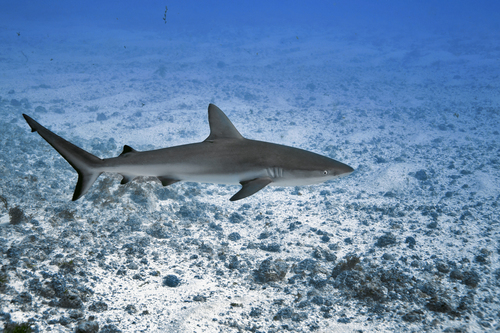
Galapagos shark
Seen 8 months ago
at Bajo Alcyone
Least concern
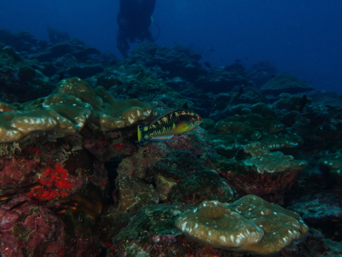
Cocos Wrasse
Seen 8 months ago
at Bajo Alcyone
Vulnerable
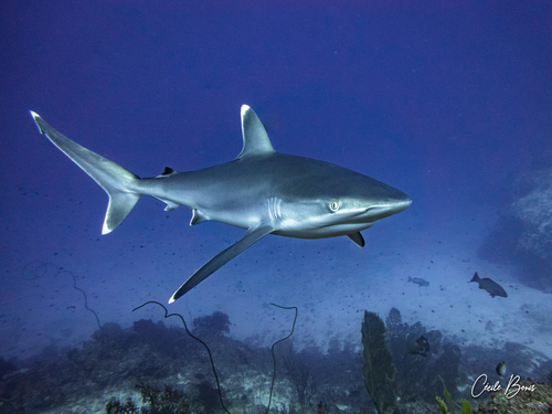
Silvertip shark
Seen Dec 2024
at Bajo Alcyone
Vulnerable
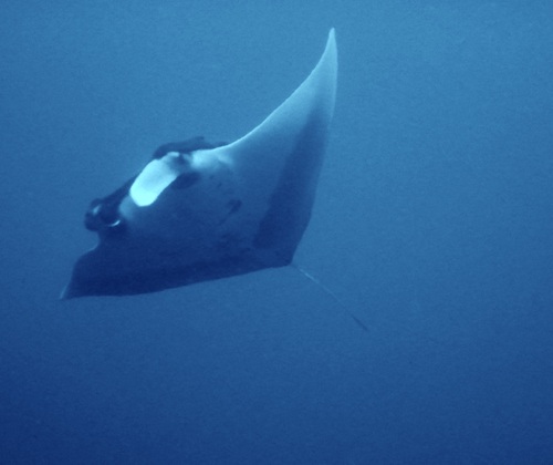
Manta ray
Seen Jan 2024
at Manuelita Island
Endangered
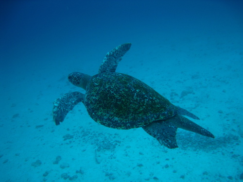
Green turtle
Seen year round
at Dos Amigos Grande
Least concern
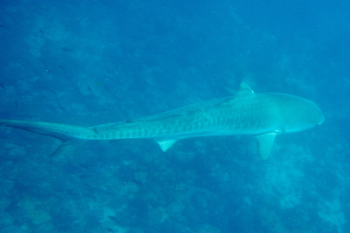
Tiger shark
Seen year round
at Manuelita Island
Near threatened
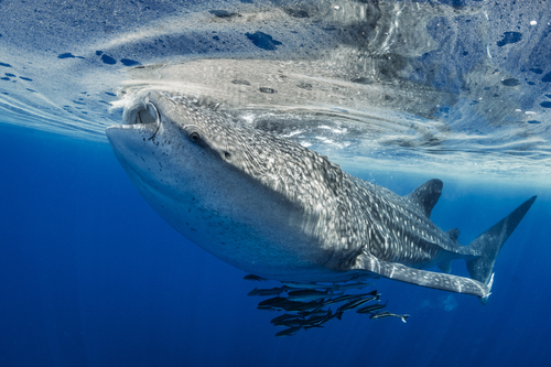
Whale shark
Seasonal visitor
at Bajo Alcyone
Endangered
Dive sites
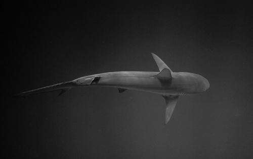
Bajo Alcyone
scalloped hammerhead · galapagos shark · whale shark · silvertip shark
Dirty Rock (Roca Sucia)
scalloped hammerhead · galapagos shark · whitetip reef shark · marbled ray
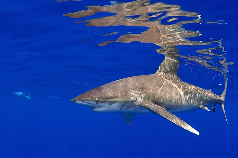
Manuelita Island
scalloped hammerhead · whitetip reef shark · tiger shark · galapagos shark
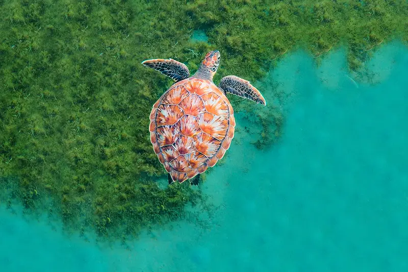
Dos Amigos Grande
scalloped hammerhead · whitetip reef shark · galapagos shark · marble ray
What divers say
Two days at sea, then four days of the heaviest shark traffic I've ever seen, then two days back. Worth every hour.
Good to know
Crossing
32–36h each way from Puntarenas. Bring scopolamine.
Park fee
~$500 conservation fee on top of trip cost.
No land diving
There's no infrastructure on the island for divers — it's a national park visit only.