
Know what every reef
looks like before you dive.
Every site earns one of three honest states from coral cover measurements, satellite thermal stress and fishing pressure data. The state tells you what you will find in the water. For reefs witnessing change, we model trajectory — how fast cover is declining and when it may stabilise. For thriving reefs, we track the rate of gain. Every reef is worth diving.
Browse all locations →


63 sources.
One honest signal.
The atlas reads satellite thermal stress, dated in-water surveys, species sighting databases, fishing pressure indices and coral cover assessments, synthesised into a single state. No editorial. No tourism bias. Just what the data says.
Read the methodology →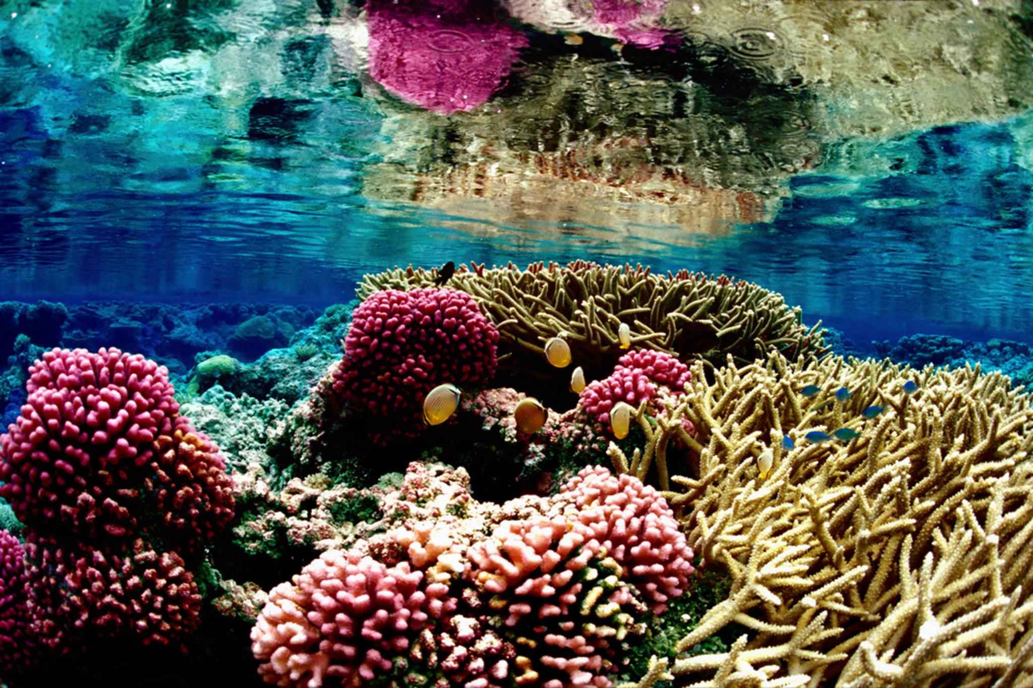
See the probability,
not the hope.
Every site shows which species have been confirmed by real diver logs in the last 24 months. IUCN conservation status, how recently each was seen, and how rare a confirmed sighting is across the entire atlas.
See Looe Key →


From reef state
to departure gate.
Every site carries conditions, season calendars, skill requirements, access routes and recommended operators. The planning is as considered as the diving itself.
Browse locations →Every dive can be a data point.
The 4th global bleaching event (2023 to 2025) hit 84% of the world's reefs. A new El Niño is building. Every photo, colour score or survey transect you submit feeds the databases that shape reef policy worldwide.
How to submit your observations →One clear photo, uploaded after the dive. The community confirms the ID to research grade. Your record feeds GBIF, OBIS and the IUCN Red List.
Hold the Coral Health Chart next to a coral and note the score. Takes a few minutes. Repeated scores at the same reef are how early bleaching gets caught.
Count set lists of fish and invertebrates along a measured transect. Free diver training available. The same method worldwide since 1997.