Colombia · Eastern Pacific
Malpelo Island
Prime offshore pelagic season with large shark schools and big-animal action.
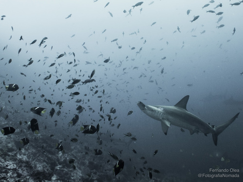
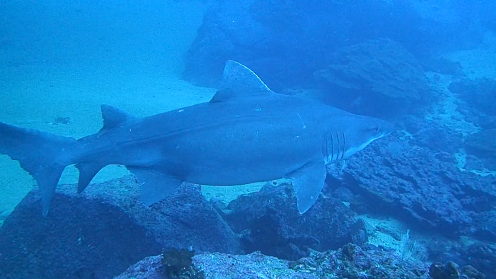
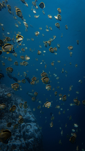
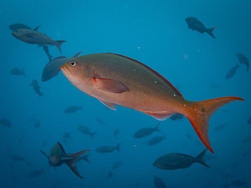
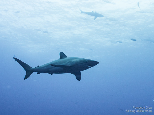
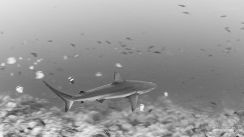
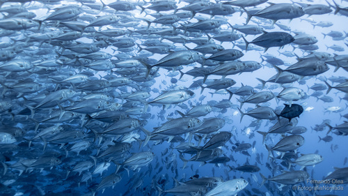
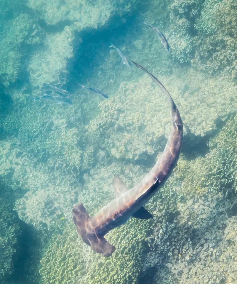
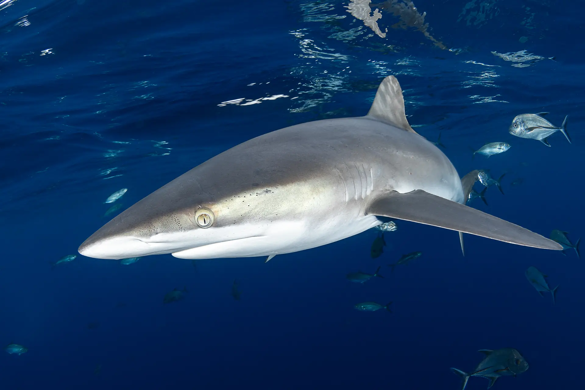
Malpelo is a UNESCO World Heritage rock 500km off Colombia's Pacific coast — schooling hammerheads, silky sharks, the rare smalltooth sand tiger, and the largest known aggregation of hammerheads in the Eastern Pacific. Liveaboard-only with a 36-hour crossing.
Good season
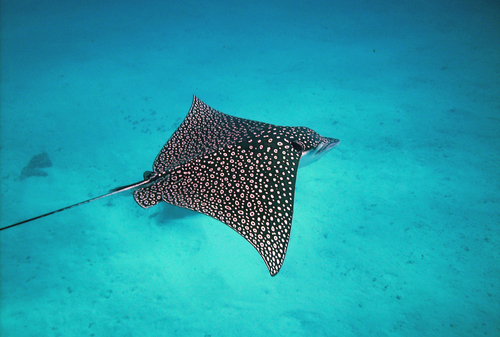
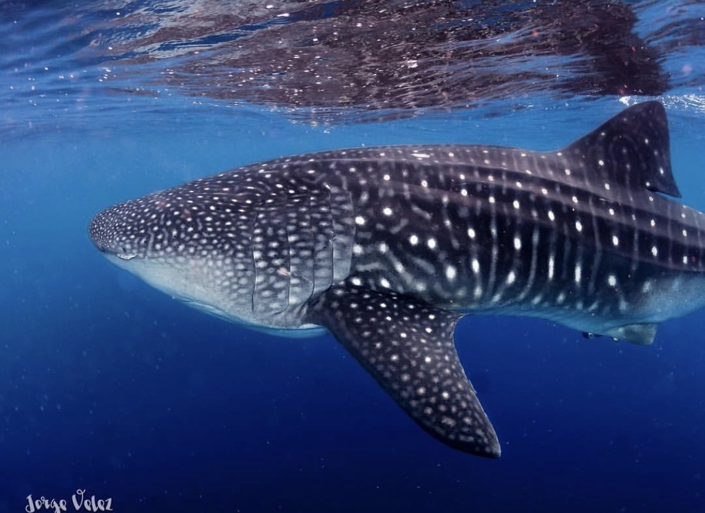
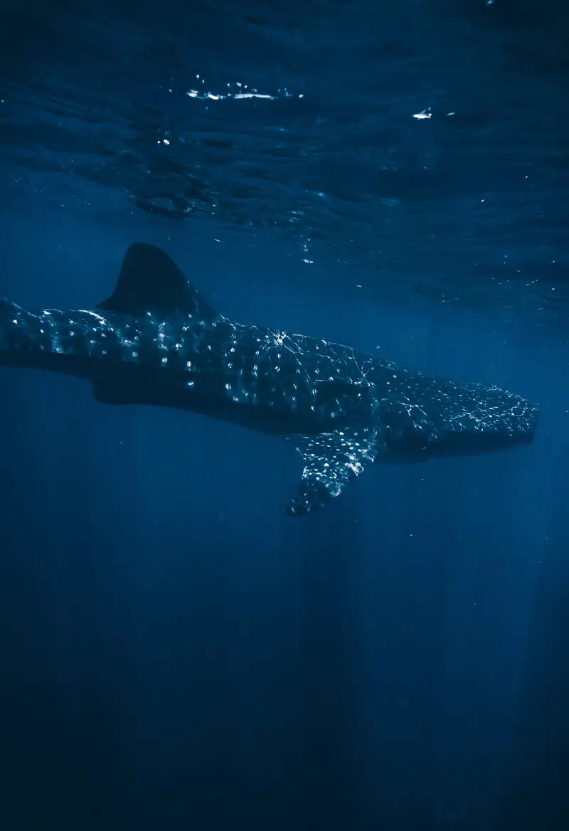
Year-round divable; June–November is peak hammerhead season. December–May is calmer crossings with whale sharks and mantas.
Trip duration
10–12 night liveaboard from Buenaventura, including ~36h transit each way.
Dive style
Wall and blue-water diving with negative entries; strong current.
Dive level
Advanced + 50–100 dives. Most ops require nitrox.
Reef health
What you’ll actually findSome loss since the 2010s, but the reef still has plenty to dive. Pick depth and shoulder-season carefully.
Coral reef health
How is this calculated?On current trend, no live coral by ~2078. Losing about 0.5% cover per year — roughly 54 years of reef left to see if nothing changes.
Heat stress right now
Mild warmth. Worth watching — no bleaching yet.
NOAA Coral Reef Watch · updated May 2026 · 9.8 °C-week heat dose
What to expect on a dive
Hammerhead aggregation site. Naturally sparse coral — Eastern Pacific reef community.
Sources, methodology, and the raw numbers
Raw observed numbers
- Coral cover: 27% (survey Sep 2024, Eastern Tropical Pacific reef survey)
- Bleached: 12%
- Recent mortality: 4%
- Eastern Tropical Pacific — observed condition reflects the thinning regional pattern.
Raw thermal numbers
- NOAA CRW alert level: Watch
- Degree Heating Weeks: 9.8 °C-wk
- SST anomaly: +0.9 °C
How we summarise this
Observed coral cover, bleaching, and mortality come from named in-situ surveys with a stated date and method — they describe one snapshot of one reef and do not extrapolate to neighbouring sites. Current thermal stress is satellite-derived from NOAA Coral Reef Watch at ~5 km resolution; it indicates risk, not observed coral damage. We deliberately separate observed condition, current thermal stress, and projection — and we never publish a projection without a documented model and uncertainty.
Sources
- International Coral Reef Initiative — ICRI Secretariat
- NOAA Coral Reef Watch — U.S. National Oceanic and Atmospheric Administration
- AIMS Long-Term Monitoring Program — Australian Institute of Marine Science
- Global Coral Reef Monitoring Network — GCRMN / ICRI
- Atlantic and Gulf Rapid Reef Assessment — AGRRA Program / Perry Institute for Marine Science
- NOAA National Coral Reef Monitoring Program — NOAA Coral Reef Conservation Program
- Reef Check — Reef Check Foundation
- NOAA CoastWatch / OceanWatch — NOAA NESDIS / STAR
- Allen Coral Atlas — Arizona State University Center for Global Discovery and Conservation Science
- Great Barrier Reef Marine Park Authority — Australian Government
- Reef Life Survey — Reef Life Survey Foundation
- NASA PO.DAAC — NASA Jet Propulsion Laboratory / Caltech
- Copernicus Marine Service — Mercator Ocean International for the European Union
- NASA Ocean Color (OB.DAAC) — NASA Goddard Space Flight Center / Ocean Biology Processing Group
- Argo float network — International Argo Program / UCSD
- CoralWatch — University of Queensland
- IMOS / AODN — Integrated Marine Observing System / Australian Ocean Data Network
- WRI Reefs at Risk Revisited — World Resources Institute
- Ocean Health Index — OHI partnership (Conservation International + UCSB + NCEAS)
- IPCC Special Report on the Ocean and Cryosphere (SROCC) — Intergovernmental Panel on Climate Change
- GOA-ON — Global Ocean Acidification Observing Network — GOA-ON Secretariat + IOC-UNESCO
- HAEDAT — Harmful Algae Event Database — IOC-UNESCO Intergovernmental Panel on Harmful Algal Blooms
- NCEI Marine Microplastics — NOAA National Centers for Environmental Information
Reef condition changes year to year. If you visit, consider supporting responsible-travel and conservation operators on the ground.
Pressure on this reef
Protection · fishing · what you can doProtected-area status
No-take reserveFully no-take — no fishing of any kind. The strongest protection tier.
Fishing pressure
Low fishing pressureDominant pressures
- liveaboard tourism
- illegal industrial fishing on EEZ edges
2 Green Fins-verified operators known at this location.
What you can do
Malpelo Fauna and Flora Sanctuary is no-take; illegal fishing on EEZ edges remains the main threat. Galápagos Marine Reserve recently expanded to 198,000 km². Industrial fishing on the EEZ edge remains a major issue — pick operators who back enforcement campaigns.
Protection status sourced from Protected Planet / WDPA and refined with Marine Protection Atlas. Fishing pressure proxy is Global Fishing Watch AIS data. See the methodology for what these sources can and can’t prove.
Dive sites here
2 curated
El Monstruo (Bajo del Monstruo)
A submerged pinnacle off Malpelo Island and the most reliable place on Earth to encounter the deep-dwelling smalltooth sand tiger shark (Odo…

La Nevera (The Refrigerator)
La Nevera ('The Refrigerator') is Malpelo's most-dived site, a slope of large boulders on the island's southwest side dropping past 40 m. It…
Gear
What to bringWhat divers say
“Pacific Colombia's Galápagos. Same hammerheads, half the divers, deeper culture.”