Philippines · Cebu
Moalboal
Sardine run and reef diving usually shine during the drier part of the year.
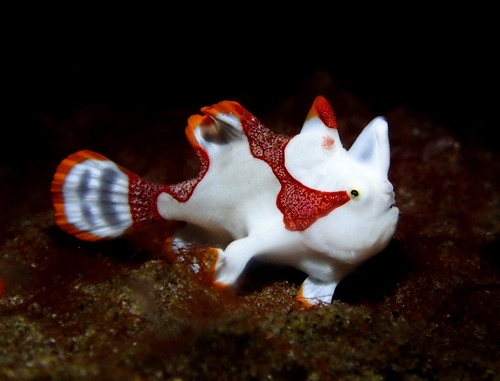
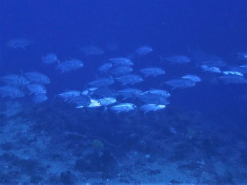
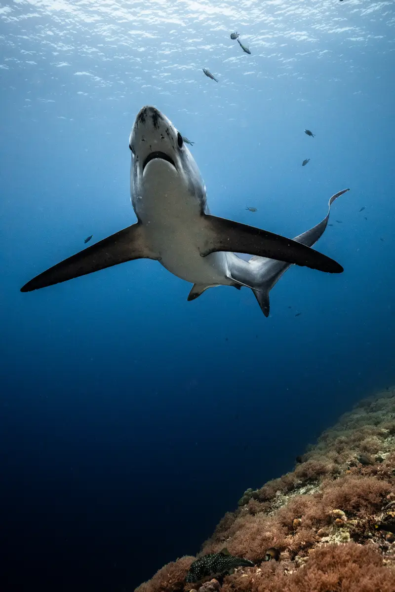
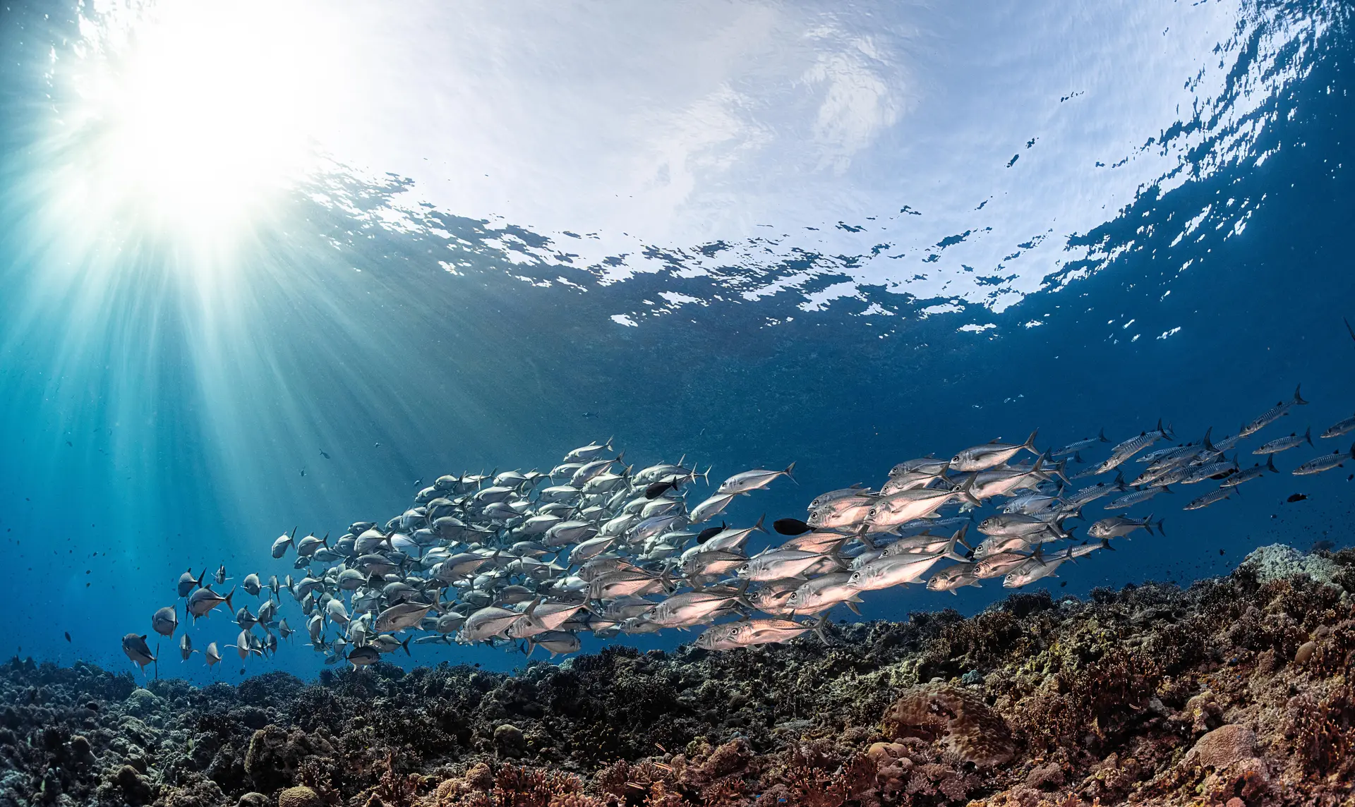
Moalboal on Cebu's southwest coast is built around two things: the sardine run that lives year-round at Panagsama Beach, and the wall diving at Pescador Island just offshore. Easy shore entries, big macro on the house reef, and a relaxed backpacker town.
Good season
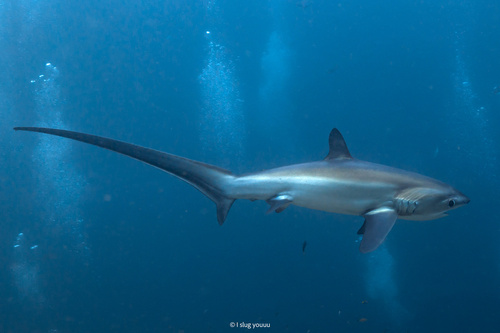
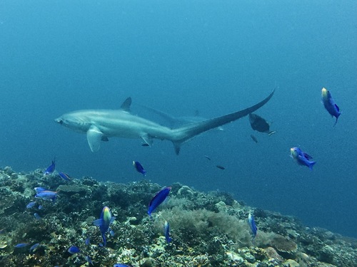
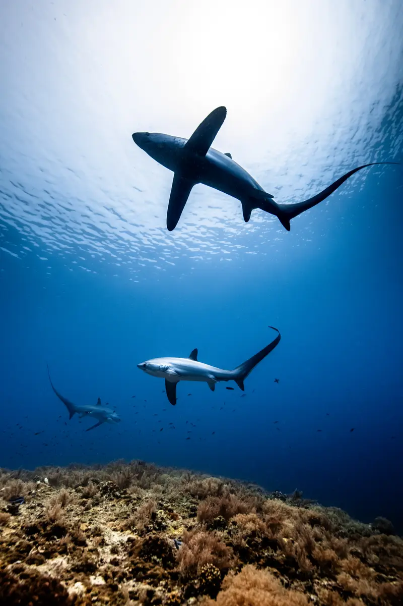
Year-round; November–May is driest. Sardines are reliably present every month, sometimes parted by visiting thresher or whale shark.
Trip duration
3–5 nights; often combined with Malapascua and Bohol.
Dive style
Shore and short-boat diving on walls and the sardine ball. Mild current.
Dive level
Open Water; great place to log dives independently.
Reef health
What you’ll actually findThis reef is under heat stress right now and has thinned over the last decade. Plan a trip this year rather than next.
Coral reef health
How is this calculated?On current trend, no live coral by ~2137. Losing about 0.3% cover per year — roughly 113 years of reef left to see if nothing changes.
Heat stress right now
Reefs at this level can start losing colour within weeks.
NOAA Coral Reef Watch · updated May 2026 · 1.1 °C-week heat dose
What to expect on a dive
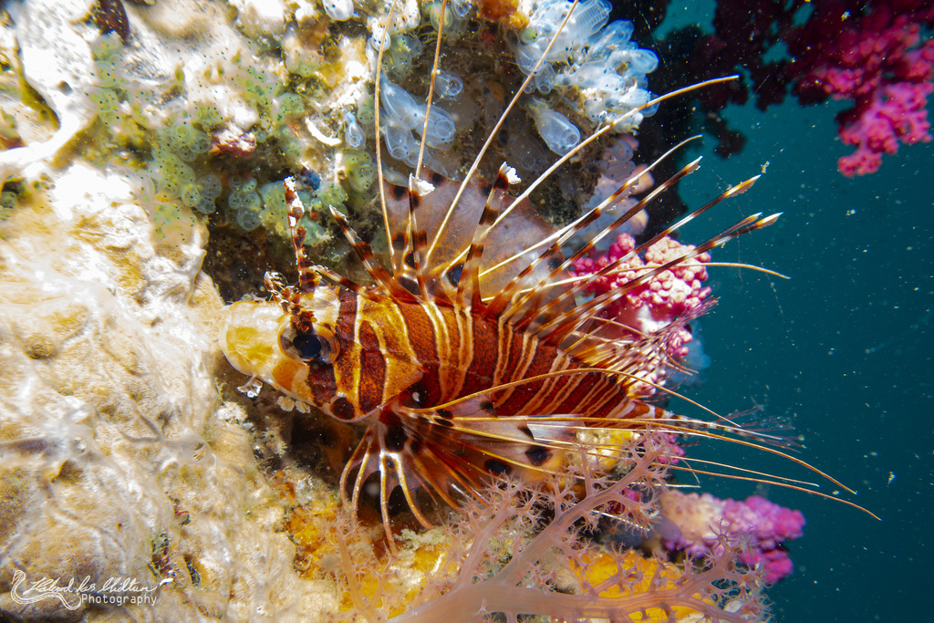
Resident sardine bait ball and the Pescador wall are unchanged. House-reef cover has thinned but the macro and pelagic encounters drive trips here.
Sources, methodology, and the raw numbers
Raw observed numbers
- Coral cover: 34% (survey Sep 2024, Reef Check Philippines survey)
- Bleached: 11%
- Recent mortality: 4%
- Philippines coast — observed condition reflects the thinning regional pattern.
Raw thermal numbers
- NOAA CRW alert level: Warning
- Degree Heating Weeks: 1.1 °C-wk
- SST anomaly: +1.3 °C
How we summarise this
Observed coral cover, bleaching, and mortality come from named in-situ surveys with a stated date and method — they describe one snapshot of one reef and do not extrapolate to neighbouring sites. Current thermal stress is satellite-derived from NOAA Coral Reef Watch at ~5 km resolution; it indicates risk, not observed coral damage. We deliberately separate observed condition, current thermal stress, and projection — and we never publish a projection without a documented model and uncertainty.
Sources
- Reef Check — Reef Check Foundation
- NOAA Coral Reef Watch — U.S. National Oceanic and Atmospheric Administration
- AIMS Long-Term Monitoring Program — Australian Institute of Marine Science
- Global Coral Reef Monitoring Network — GCRMN / ICRI
- Atlantic and Gulf Rapid Reef Assessment — AGRRA Program / Perry Institute for Marine Science
- NOAA National Coral Reef Monitoring Program — NOAA Coral Reef Conservation Program
- NOAA CoastWatch / OceanWatch — NOAA NESDIS / STAR
- Allen Coral Atlas — Arizona State University Center for Global Discovery and Conservation Science
- Great Barrier Reef Marine Park Authority — Australian Government
- International Coral Reef Initiative — ICRI Secretariat
- Reef Life Survey — Reef Life Survey Foundation
- NASA PO.DAAC — NASA Jet Propulsion Laboratory / Caltech
- Copernicus Marine Service — Mercator Ocean International for the European Union
- NASA Ocean Color (OB.DAAC) — NASA Goddard Space Flight Center / Ocean Biology Processing Group
- Argo float network — International Argo Program / UCSD
- CoralWatch — University of Queensland
- IMOS / AODN — Integrated Marine Observing System / Australian Ocean Data Network
- WRI Reefs at Risk Revisited — World Resources Institute
- Ocean Health Index — OHI partnership (Conservation International + UCSB + NCEAS)
- IPCC Special Report on the Ocean and Cryosphere (SROCC) — Intergovernmental Panel on Climate Change
- GOA-ON — Global Ocean Acidification Observing Network — GOA-ON Secretariat + IOC-UNESCO
- HAEDAT — Harmful Algae Event Database — IOC-UNESCO Intergovernmental Panel on Harmful Algal Blooms
- NCEI Marine Microplastics — NOAA National Centers for Environmental Information
Reef condition changes year to year. If you visit, consider supporting responsible-travel and conservation operators on the ground.
Pressure on this reef
Protection · fishing · what you can doProtected-area status
Multi-use MPAInside a designated MPA that permits regulated fishing and other uses. Worth checking which zones at this location are no-take.
Fishing pressure
High fishing pressureDominant pressures
- overfishing
- plastic
- coastal development
2 Green Fins-verified operators known at this location.
What you can do
Local government MPA on Pescador; the wider coast is mixed. Mixed protection here. Choose Green Fins–verified operators and skip single-use plastics — Philippines coastal waste flow is among the highest in the world.
Protection status sourced from Protected Planet / WDPA and refined with Marine Protection Atlas. Fishing pressure proxy is Global Fishing Watch AIS data. See the methodology for what these sources can and can’t prove.
Dive sites here
3 curated
Pescador Island
Small offshore islet ringed by walls and the famous Cathedral cavern at 18 m. Soft coral and gorgonians cover the walls and pelagic thresher…

Panagsama Sardine Run
A resident year-round bait ball of millions of sardines off Panagsama Beach. The school swirls along the wall in 5 to 15 m, easily accessibl…

Apo Island
A volcanic island off the southeastern tip of Negros, ringed by one of the world's first community-run marine reserves — local fishers close…
Gear
What to bringSite-specific add-ons
Some dive sites here call for extra gear. Check the individual site page for full context.
- Dive light — For the Cathedral cavern interior. · Pescador Island
- Wide-angle camera setup — Sardine ball at 10 m demands a wide angle to capture scale. · Panagsama Sardine Run
What divers say
“Walking into the ocean from the beach and being inside a million sardines within five minutes never stops feeling absurd.”