Bahamas · Atlantic Ocean
Tiger Beach
Main shark-diving season outside the hottest summer stretch.
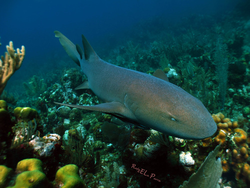
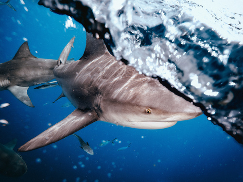
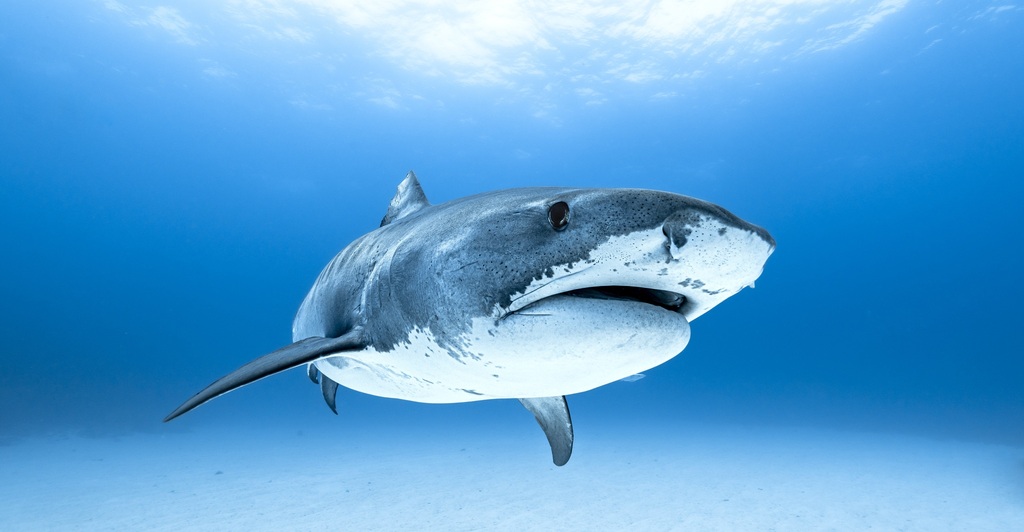
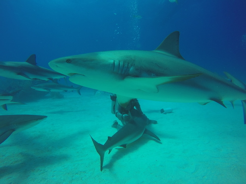
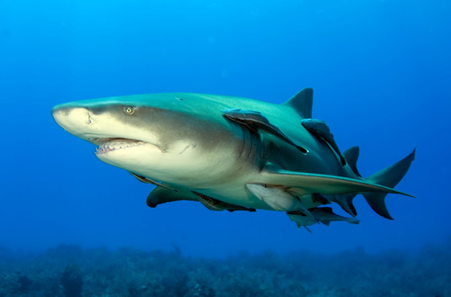
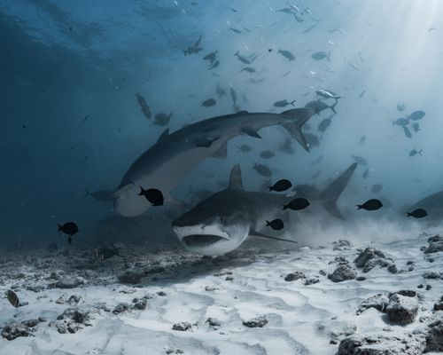
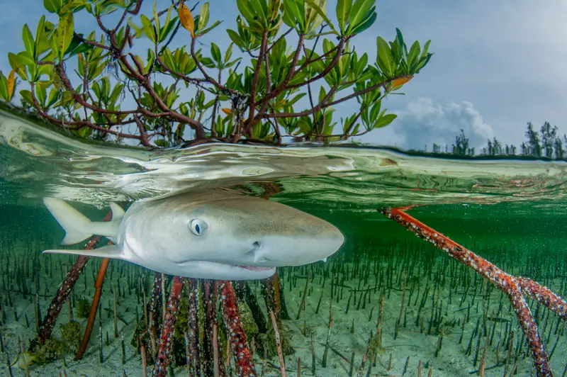
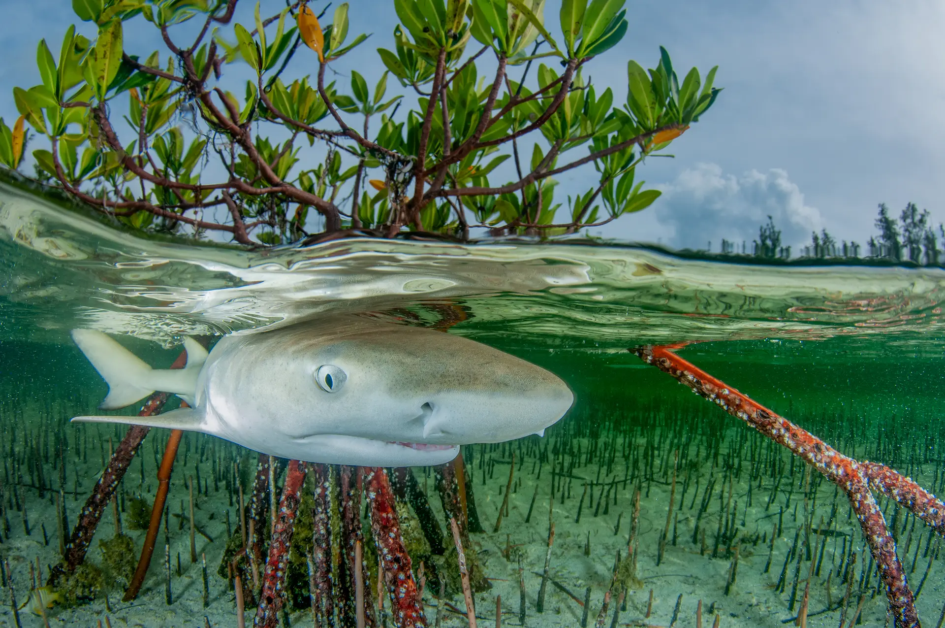
Tiger Beach is a sand flat off Grand Bahama — the world's most reliable encounter with tiger sharks at recreational depths, often with lemon sharks and Caribbean reef sharks alongside. Baited dives in shallow, clear water.
Good season
October–January is peak tiger season. Lemon sharks year-round.
Trip duration
3–5 night liveaboard from West End, Grand Bahama.
Dive style
Baited shark dive in 5–8m on sand; no current; spend the dive kneeling on the bottom.
Dive level
Advanced + shark-dive comfort. Most ops require previous shark dive experience.
Reef health
What you’ll actually findSome loss since the 2010s, but the reef still has plenty to dive. Pick depth and shoulder-season carefully.
Coral reef health
How is this calculated?On current trend, no live coral by ~2052. Losing about 0.8% cover per year — roughly 28 years of reef left to see if nothing changes.
Heat stress right now
No abnormal heat right now. Corals stay coloured.
NOAA Coral Reef Watch · updated May 2026 · 0 °C-week heat dose
What to expect on a dive
Shark dive — coral isn't the point. Sand-and-rubble bottom in shallow water.
Sources, methodology, and the raw numbers
Raw observed numbers
- Coral cover: 22% (survey Sep 2024, Perry Institute / AGRRA Bahamas survey)
- Bleached: 18%
- Recent mortality: 6%
- Bahamas — observed condition reflects the thinning regional pattern.
Raw thermal numbers
- NOAA CRW alert level: No stress
- Degree Heating Weeks: 0 °C-wk
- SST anomaly: +1.2 °C
How we summarise this
Observed coral cover, bleaching, and mortality come from named in-situ surveys with a stated date and method — they describe one snapshot of one reef and do not extrapolate to neighbouring sites. Current thermal stress is satellite-derived from NOAA Coral Reef Watch at ~5 km resolution; it indicates risk, not observed coral damage. We deliberately separate observed condition, current thermal stress, and projection — and we never publish a projection without a documented model and uncertainty.
Sources
- Atlantic and Gulf Rapid Reef Assessment — AGRRA Program / Perry Institute for Marine Science
- NOAA Coral Reef Watch — U.S. National Oceanic and Atmospheric Administration
- AIMS Long-Term Monitoring Program — Australian Institute of Marine Science
- Global Coral Reef Monitoring Network — GCRMN / ICRI
- NOAA National Coral Reef Monitoring Program — NOAA Coral Reef Conservation Program
- Reef Check — Reef Check Foundation
- NOAA CoastWatch / OceanWatch — NOAA NESDIS / STAR
- Allen Coral Atlas — Arizona State University Center for Global Discovery and Conservation Science
- Great Barrier Reef Marine Park Authority — Australian Government
- International Coral Reef Initiative — ICRI Secretariat
- Reef Life Survey — Reef Life Survey Foundation
- NASA PO.DAAC — NASA Jet Propulsion Laboratory / Caltech
- Copernicus Marine Service — Mercator Ocean International for the European Union
- NASA Ocean Color (OB.DAAC) — NASA Goddard Space Flight Center / Ocean Biology Processing Group
- Argo float network — International Argo Program / UCSD
- CoralWatch — University of Queensland
- IMOS / AODN — Integrated Marine Observing System / Australian Ocean Data Network
- WRI Reefs at Risk Revisited — World Resources Institute
- Ocean Health Index — OHI partnership (Conservation International + UCSB + NCEAS)
- IPCC Special Report on the Ocean and Cryosphere (SROCC) — Intergovernmental Panel on Climate Change
- GOA-ON — Global Ocean Acidification Observing Network — GOA-ON Secretariat + IOC-UNESCO
- HAEDAT — Harmful Algae Event Database — IOC-UNESCO Intergovernmental Panel on Harmful Algal Blooms
- NCEI Marine Microplastics — NOAA National Centers for Environmental Information
Reef condition changes year to year. If you visit, consider supporting responsible-travel and conservation operators on the ground.
Pressure on this reef
Protection · fishing · what you can doProtected-area status
Multi-use MPAInside a designated MPA that permits regulated fishing and other uses. Worth checking which zones at this location are no-take.
Fishing pressure
Moderate fishing pressureDominant pressures
- shark tourism management
- cruise impact
- limited MPA enforcement
1 Green Fins-verified operator known at this location.
What you can do
Bahamas has banned commercial shark fishing nationwide since 2011 — a major win. Coastal-zone enforcement is patchier; cruise-port locations bear the brunt.
Protection status sourced from Protected Planet / WDPA and refined with Marine Protection Atlas. Fishing pressure proxy is Global Fishing Watch AIS data. See the methodology for what these sources can and can’t prove.
Dive sites here
1 curatedGear
What to bringSite-specific add-ons
Some dive sites here call for extra gear. Check the individual site page for full context.
- Chain-mail glove or dark gloves — Operators issue dark-color gloves for the feed — bare skin attracts attention. · Tiger Beach
- Surface marker buoy — Open-water transits between dive sites. · Tiger Beach
What divers say
“A 4m tiger shark sliding past your shoulder at arm's length, knowing she's choosing not to bite — most intense calm I've ever felt.”