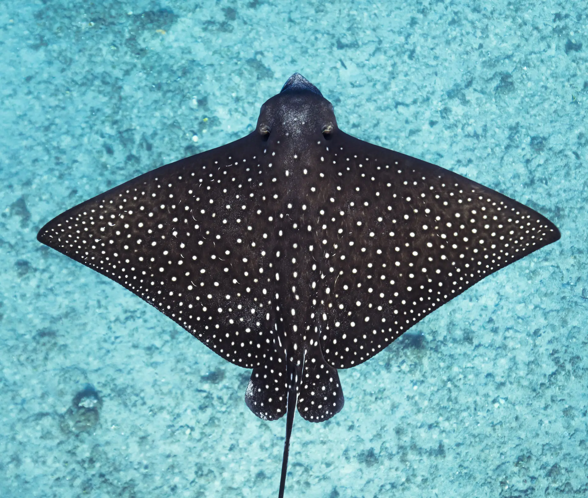
Karpata
Bonaire National Marine Park · Bonaire
Northern shore dive named for a 19th-century cochineal plantation whose ruined Landhuis still stands above the entry point. Iron ship anchors lie embedded in elkhorn at 11 m, with a steep buttressed wall dropping past 30 m onto a sand slope. Reliably good visibility, tarpon working the shallows at dusk, and dense gorgonian and star coral cover earn it a regular spot on Bonaire top five lists. Steep concrete stairs are the catch on exit.
Conditions
Depth
6 to 30 m
Open water and up
Current
Usually still
Can pick up on the edge
Visibility
15 to 30 m
Clearest in the calm season
Water
25 to 29°C
Tropical wetsuit
Month by month
| Month | Jan | Feb | Mar | Apr | May | Jun | Jul | Aug | Sep | Oct | Nov | Dec |
|---|---|---|---|---|---|---|---|---|---|---|---|---|
| Water (°C) | 25 | 25 | 26 | 26 | 27 | 28 | 28 | 28 | 28 | 27 | 26 | 25 |
| Vis (m) | 20 | 20 | 25 | 25 | 25 | 20 | 20 | 20 | 15 | 15 | 20 | 20 |
| Current | Still | Still | Still | Still | Still | Still | Gentle | Gentle | Gentle | Still | Still | Still |
Your chances of seeing each animal
Hawksbill turtle
Last confirmed May 15, 2026 · 130 records
Almost always
Nearly every dive
Spotted moray
Last confirmed Jun 26, 2026 · 116 records
Almost always
Nearly every dive
Tarpon
Last confirmed Jun 20, 2026 · 56 records
Almost always
Nearly every dive
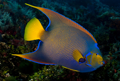
Queen angelfish
Last confirmed Jun 6, 2026 · 65 records
Almost always
Nearly every dive
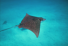
Spotted eagle ray
Last confirmed May 18, 2026 · 16 records
Very likely
Most dives
Gear