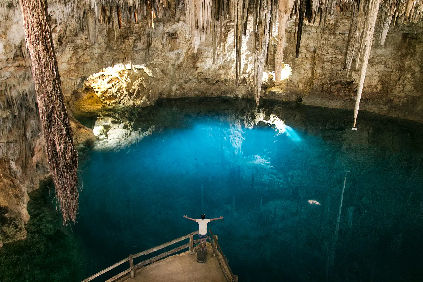
Cenote Angelita
Riviera Maya Cenotes · Mexico
A vertical shaft 17 km south of Tulum that drops past a 30 m hydrogen sulfide layer to a 60 m floor. The dive begins with a black water descent through clear freshwater, then at ~27 m a dense sulfide cloud appears as a milky river — divers see the crowns of long dead trees and tangled branches rising up through it like a drowned forest. Punch down through the 3 m murk and the lower halocline opens into amber, anoxic salt water that smells like sulfur even through the regulator. Locals call it "The Nightmare." Sealed cenote with no cave overhead — open vertical shaft only, but the depth and stratified visibility make it a Level 3 dive in the Quintana Roo grading system.
Conditions
Depth
25 to 60 m
Advanced depths
Current
Usually still
Can pick up on the edge
Visibility
25 to 40 m
Clearest in the calm season
Water
24 to 25°C
5mm wetsuit (long bottom time at depth)
Month by month
| Month | Jan | Feb | Mar | Apr | May | Jun | Jul | Aug | Sep | Oct | Nov | Dec |
|---|---|---|---|---|---|---|---|---|---|---|---|---|
| Water (°C) | 24 | 24 | 24 | 24 | 24 | 24 | 24 | 24 | 24 | 24 | 24 | 24 |
| Vis (m) | 30 | 30 | 30 | 30 | 25 | 20 | 20 | 20 | 20 | 25 | 30 | 30 |
| Current | Still | Still | Still | Still | Still | Still | Still | Still | Still | Still | Still | Still |
Your chances of seeing each animal
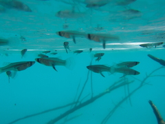
Mosquitofish
Last confirmed Apr 15, 2026 · 130 records
Almost always
Nearly every dive
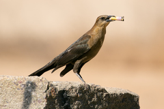
Great-Tailed Grackle
Last confirmed Jun 26, 2026 · 220 records
Almost always
Nearly every dive
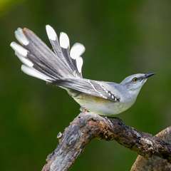
Tropical Mockingbird
Last confirmed May 1, 2026 · 133 records
Almost always
Nearly every dive
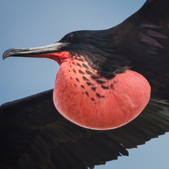
Magnificent Frigatebird
Last confirmed Jun 26, 2026 · 122 records
Almost always
Nearly every dive
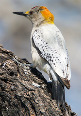
Golden-Fronted Woodpecker
Last confirmed Jun 28, 2026 · 94 records
Almost always
Nearly every dive
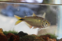
Mayan tetra
Expected
Known here, not yet in recent logs
Gear