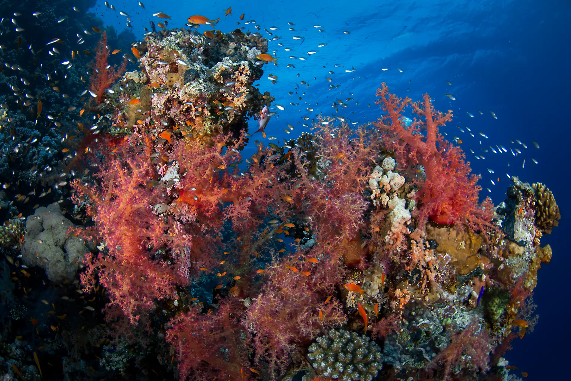
Straits of Tiran
Ras Mohammed · Egypt
The narrow channel between the Sinai coast and Tiran Island, where Red Sea water funnels into the Gulf of Aqaba and four reefs sit in a line across the current. South to north they run Gordon, Thomas, Woodhouse and Jackson, each named after a 19th-century British cartographer who mapped the strait. The Cypriot freighter Lara grounded on Jackson's northern face in 1982 and her rusted bow plates still break the surface, with the rest of the 137 m hull leaning down the wall to 70 m. Hard coral gardens cap the reef tops at 5 m and drop into walls and saddles patrolled by grey reef and whitetip sharks; Thomas Reef hides three arches that begin at 35 m, and a school of scalloped hammerheads is regularly sighted off the back of Jackson in late summer.
Conditions
Depth
5 to 40 m
Advanced depths
Current
Can be moderate
Can pick up on the edge
Visibility
25 to 35 m
Clearest in the calm season
Water
20 to 29°C
5 mm wetsuit
Month by month
| Month | Jan | Feb | Mar | Apr | May | Jun | Jul | Aug | Sep | Oct | Nov | Dec |
|---|---|---|---|---|---|---|---|---|---|---|---|---|
| Water (°C) | 21 | 20 | 21 | 22 | 24 | 26 | 27 | 27 | 26 | 25 | 23 | 22 |
| Vis (m) | 20 | 20 | 25 | 25 | 25 | 25 | 25 | 25 | 25 | 25 | 20 | 20 |
| Current | Moderate | Moderate | Moderate | Moderate | Moderate | Strong | Strong | Strong | Strong | Moderate | Moderate | Moderate |
Your chances of seeing each animal
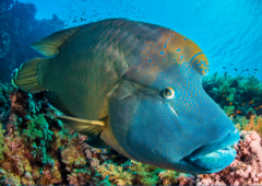
Napoleon wrasse
Last confirmed Jul 5, 2026 · 17 records
Very likely
Most dives
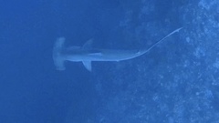
Scalloped hammerhead shark
Last confirmed Oct 15, 2025 · 45 records
Very likely
Most dives
Hawksbill turtle
Last confirmed Jul 4, 2026 · 9 records
Very likely
Most dives
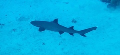
Whitetip reef shark
Last confirmed Apr 1, 2026 · 1 records
Likely
About 6 in 10 dives
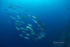
Bigeye trevally
Last confirmed Jan 15, 2025 · 2 records
Likely
About 6 in 10 dives

Grey reef shark
Expected
Known here, not yet in recent logs
Anthias and gorgonian fans
Expected
Known here, not yet in recent logs
Gear