Planning a trip?
Hotels, dive operators, gear, and how to get here are on the Yonaguni location page.
Overview
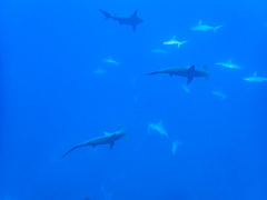
Submerged sandstone formation about 100 m off Arakawabana Cape on the southern coast of Yonaguni Island, discovered in 1986 by local dive operator Kihachiro Aratake while scouting hammerhead habitat. The structure features terraced platforms, broad flat surfaces, sharp right angles and what divers call staircases, spanning roughly 50 m across and rising about 25 m off the bottom. Geologists generally read the geometry as erosion along bedding planes and linear joints in soft sandstone; a minority argue for prehistoric human modification. The main monument tops out near 5 m and its outer face drops to 25–30 m. From January through March schools of scalloped hammerheads pass the same southwest coast on rising current — sometimes more than 100 sharks in a single sighting.
Briefing note
Strong, often unpredictable currents along the outer face — most operators require Advanced Open Water and prior deep/drift experience. Bottom time is typically short (20–25 minutes) and the dive is run on a narrow tidal window; rough winter seas frequently cancel boats from December through February. Hammerhead dives are at separate sites along the same southwest coast (notably Hammerhead Rock, west of the monument) and are run as deep, current-heavy drifts at 20–35 m. Touching or breaking off any part of the monument is prohibited under Japanese cultural property guidance. Nearest recompression chamber is on Okinawa's main island; medevac from Yonaguni is air-only.
What you'll see
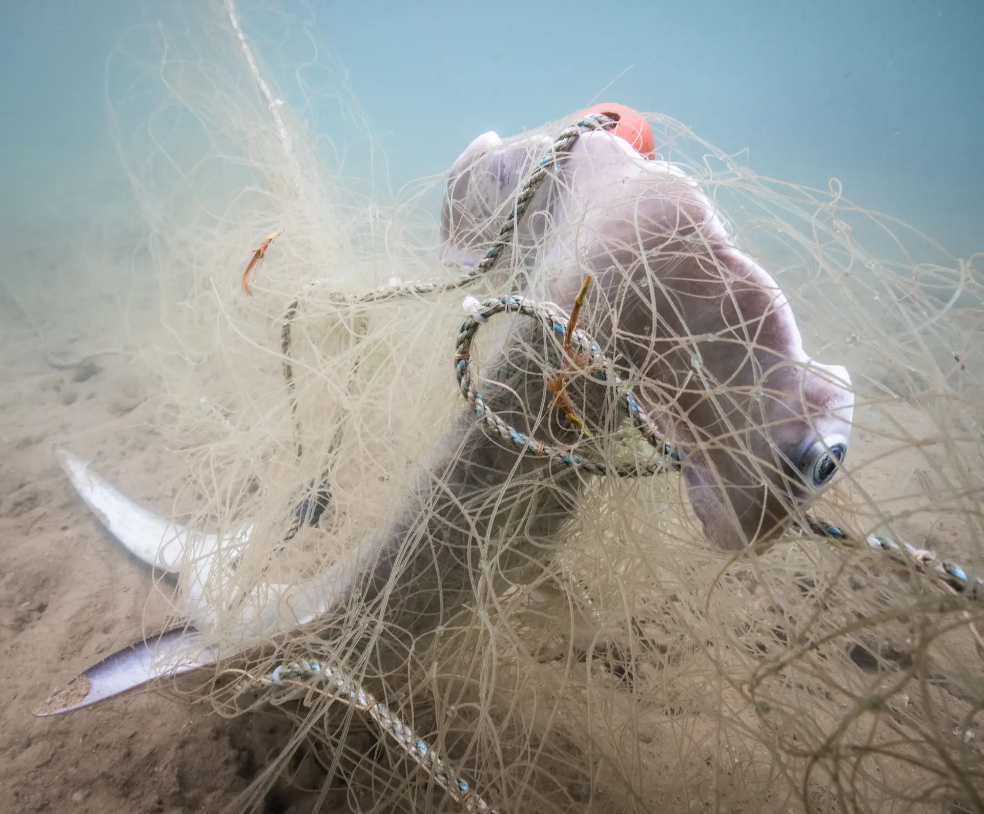
5 species curated- seasonalScalloped hammerhead sharkPeak: Jan · Feb · Mar
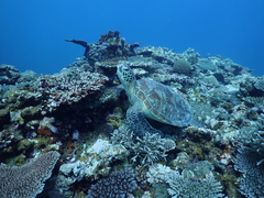
- year-roundGreen sea turtle
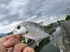
- year-roundGiant trevally
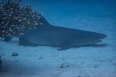
- year-roundWhitetip reef shark
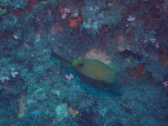
- year-roundYellow-spotted boxfish
Sightings evidence
1 record on file- medium confidenceScalloped hammerhead shark
- Last confirmed
- Mar 2026
- Recent records
- 45 within 50 km
- Cluster months
- Jan, Feb, Mar
Sources & methodology
How we summarise this
We aggregate confirmed occurrence records from GBIF and OBIS within a fixed radius of each dive site. Occurrence records confirm presence and reveal seasonality clustering, but they DO NOT measure per-dive probability — there is no eligible-effort denominator. We deliberately do not publish a numeric '% chance of sighting' from this data.
Sources
- Global Biodiversity Information Facility — GBIF Secretariat
- Ocean Biodiversity Information System — IOC-UNESCO
- iNaturalist — California Academy of Sciences & National Geographic Society
- IUCN Red List of Threatened Species — International Union for Conservation of Nature
- Wildbook (Sharkbook, Whale Shark, Manta Matcher) — Wild Me
- OBIS-SEAMAP — Duke University Marine Geospatial Ecology Lab / OBIS
- WoRMS — World Register of Marine Species — Flanders Marine Institute (VLIZ)
- FishBase — FishBase Consortium
- Atlas of Living Australia — CSIRO / GBIF Australia
- REEF Volunteer Fish Survey — Reef Environmental Education Foundation
Conditions
| Month | Water | Visibility | Current |
|---|---|---|---|
| Jan | 21–23 °C | 20–40 m | strong |
| Feb | 21–23 °C | 20–40 m | strong |
| Mar | 22–24 °C | 20–40 m | strong |
| Apr | 23–25 °C | 20–30 m | moderate |
| May | 24–26 °C | 15–25 m | moderate |
| Jun | 26–28 °C | 10–20 m | moderate |
| Jul | 27–29 °C | 10–20 m | moderate |
| Aug | 28–29 °C | 10–20 m | moderate |
| Sep | 27–29 °C | 10–20 m | strong |
| Oct | 25–27 °C | 15–25 m | moderate |
| Nov | 23–25 °C | 20–30 m | strong |
| Dec | 22–24 °C | 20–30 m | strong |
Season calendar
Peak season highlighted · current month outlined
Next step
Book your trip to Yonaguni
Hotels, liveaboards, dive operators, gear recommendations, and travel logistics for the whole region.
Plan your trip →Some links earn us a commission. Learn more