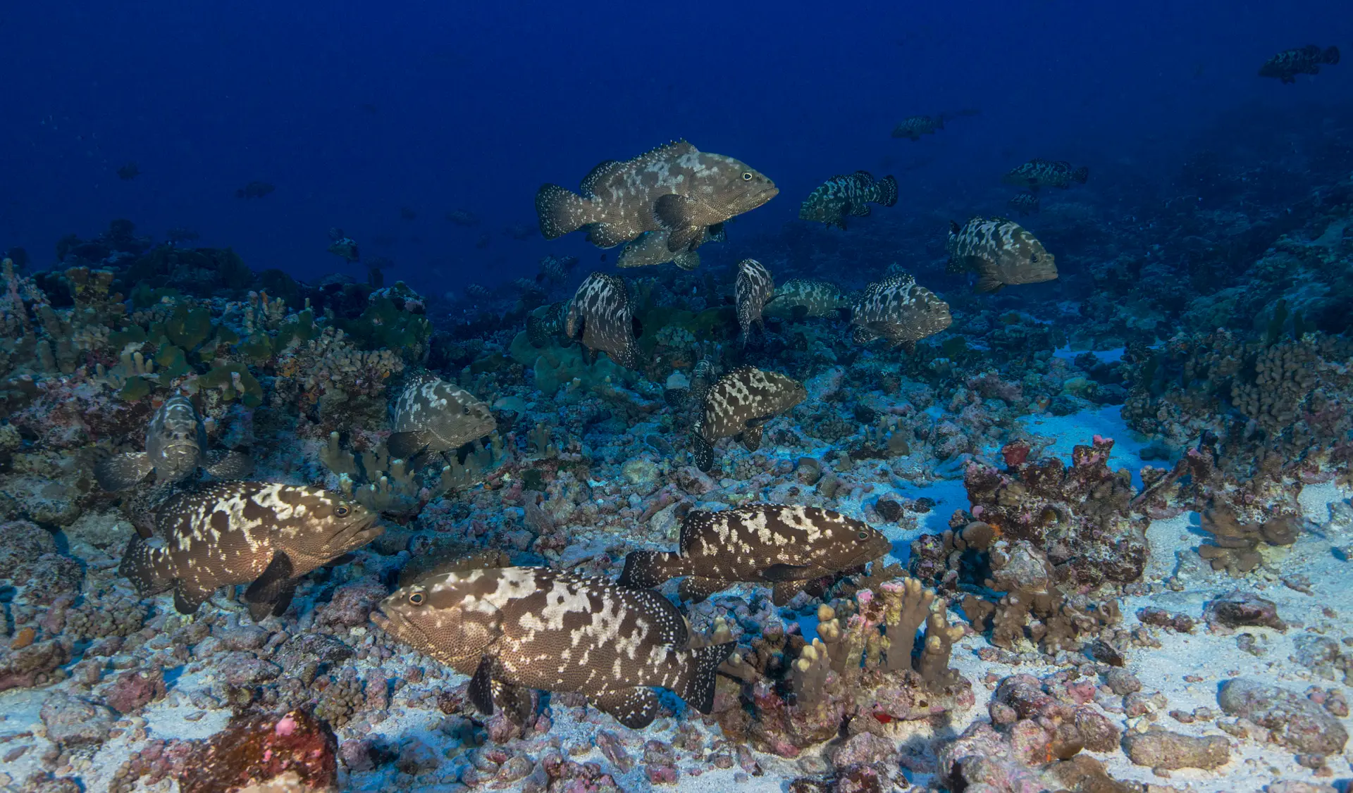
Havelock Island
India · Andaman Islands
Havelock Island (now Swaraj Dweep) is the diving hub of India's Andamans — a remote archipelago in the Bay of Bengal with healthy reefs, manta encounters in season, and a backpacker island atmosphere. India's best diving by a long way.
How this reef is doing
ⓘ How we measure thisReef state
Remote archipelago. Cover has held up better than most South Asian reefs due to limited tourism.
Coral cover
Fish life
Heat
Warmer than usual right now, but not hot enough to bleach.
Fishing
Some fishing is allowed here, in marked zones.
Sources · GCRMN reef surveys · NOAA Coral Reef Watch · Global Fishing Watch and reef gravity
Coral cover over time
Live coral cover, by survey year
Across surveys in 2014 and 2024, live coral cover here has fallen from 36% to 32%. Every point is a real survey reading, never a projection.
Live coral cover, percent by year
| Year | Coral cover |
|---|---|
| 2014 | 36% |
| 2024 | 32% |
What you will see
22 species across the dive sites here
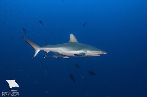
Grey reef shark
Seen 5 months ago
at Invisible Bank
Endangered
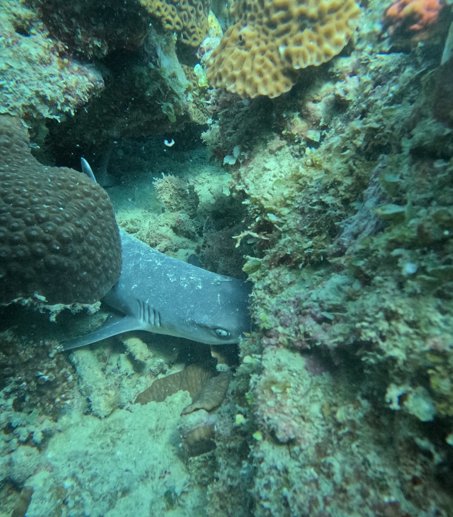
Whitetip reef shark
Seen 5 months ago
at Johnny's Gorge
Vulnerable
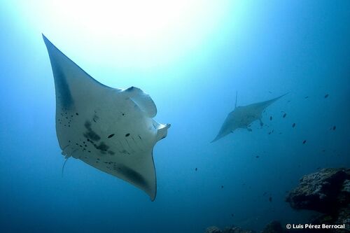
Reef manta ray
Seen 5 months ago
at Dixon's Pinnacle
Vulnerable
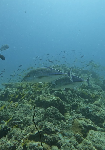
Bluefin trevally
Seen 6 months ago
at Johnny's Gorge
Least concern
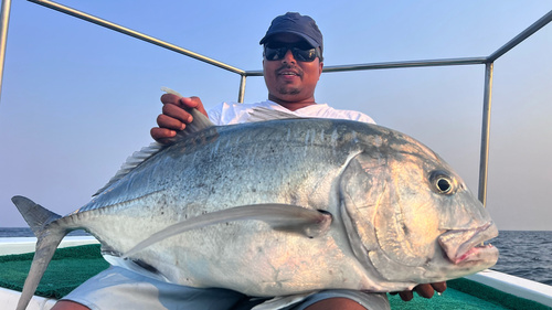
Giant trevally
Seen 9 months ago
at Johnny's Gorge
Least concern
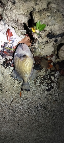
Titan triggerfish
Seen 10 months ago
at Dixon's Pinnacle
Least concern
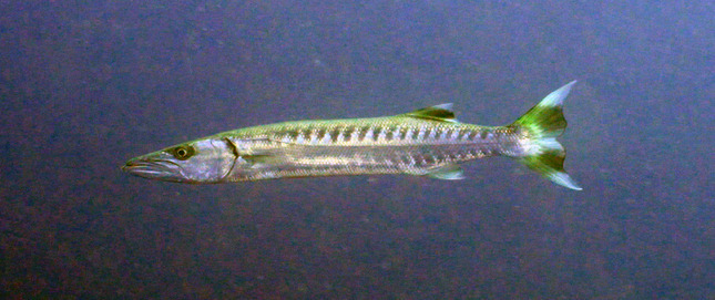
Great barracuda
Seen 10 months ago
at Johnny's Gorge
Least concern
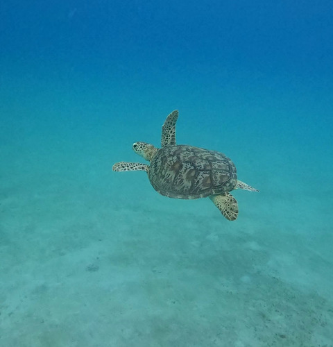
Green turtle
Seen 11 months ago
at Dixon's Pinnacle
Least concern
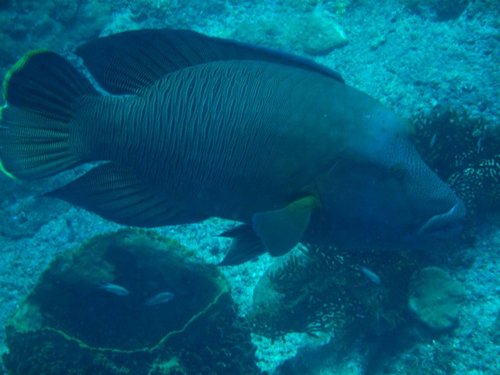
Napoleon wrasse
Seen 11 months ago
at Johnny's Gorge
Endangered
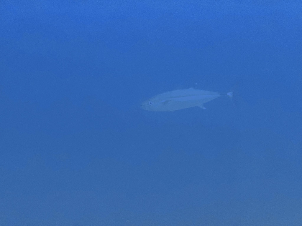
Dogtooth tuna
Seen Mar 2025
at Johnny's Gorge
Least concern
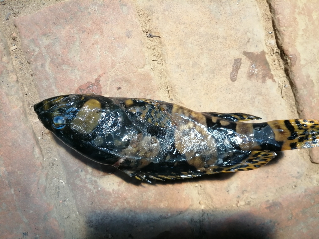
Giant grouper
Seen Sep 2024
at Johnny's Gorge
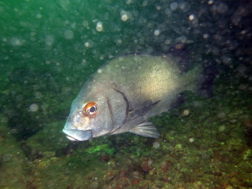
Andaman sweetlips
Seen year round
at Johnny's Gorge
Least concern
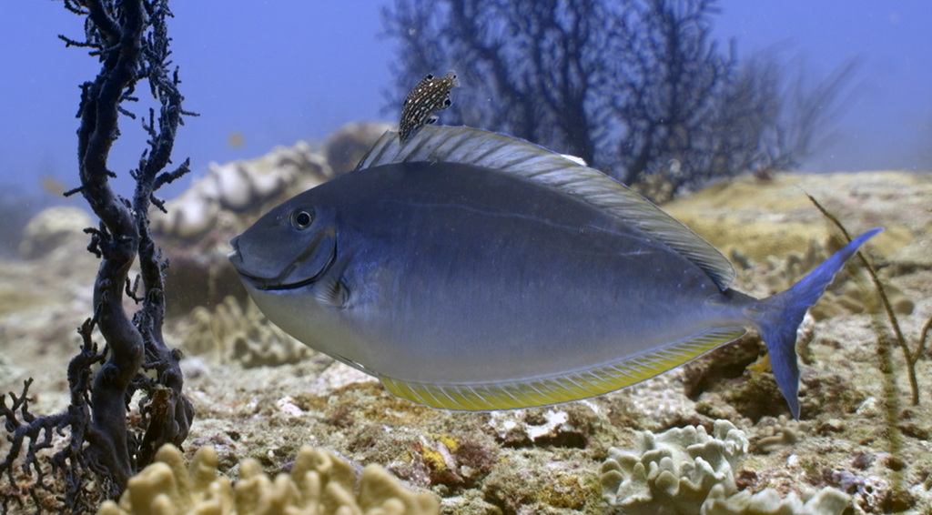
Black unicornfish
Seen year round
at Invisible Bank
Least concern
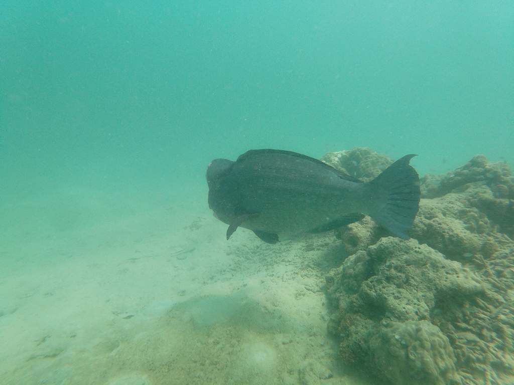
Bumphead parrotfish
Seen year round
at Invisible Bank
Vulnerable
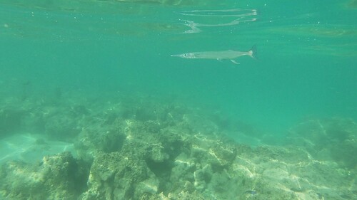
Crocodile needlefish
Seen year round
at Barren Island
Least concern
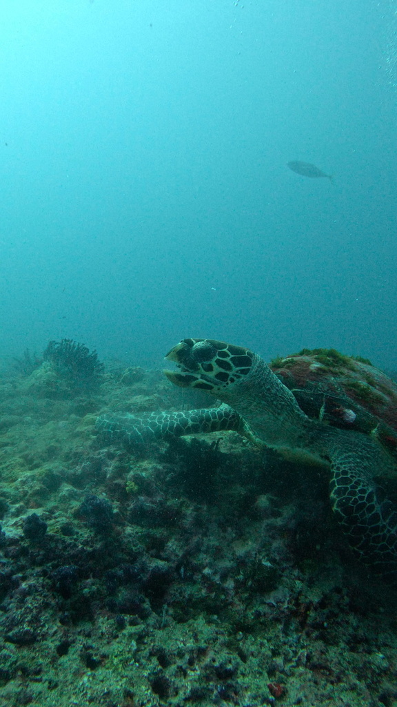
Hawksbill turtle
Seen year round
at Barren Island
Critically endangered
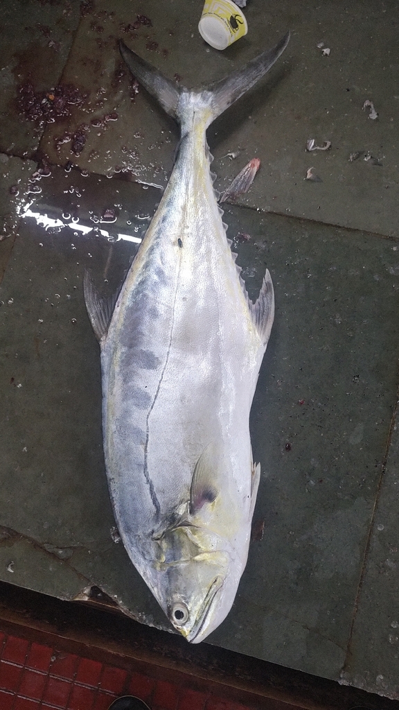
Queenfish
Seen year round
at Johnny's Gorge
Least concern
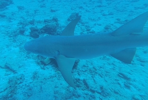
Tawny nurse shark
Seen year round
at Invisible Bank
Vulnerable
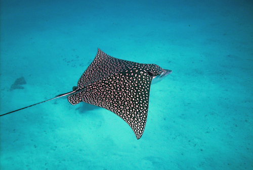
Eagle ray
Seasonal visitor
at Johnny's Gorge
Endangered
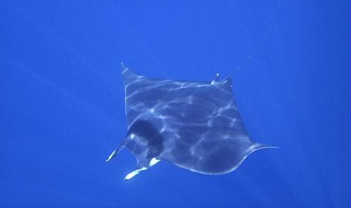
Mobula ray
Seasonal visitor
at Dixon's Pinnacle
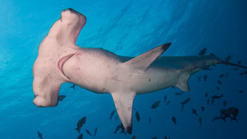
Scalloped hammerhead
Rare sighting
at Invisible Bank
Critically endangered
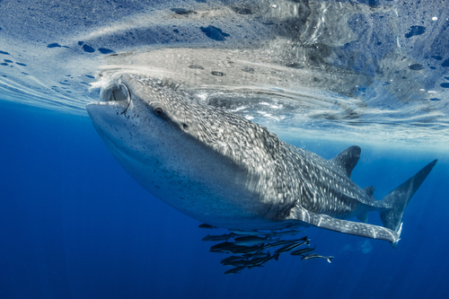
Whale shark
Rare sighting
at Dixon's Pinnacle
Endangered
Dive sites
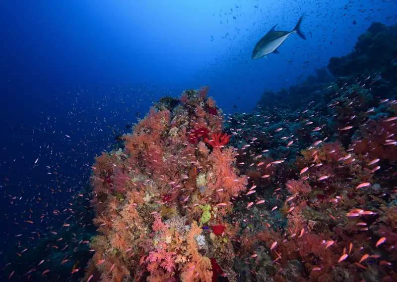
Johnny's Gorge
whitetip reef shark · giant trevally · bluefin trevally · andaman sweetlips
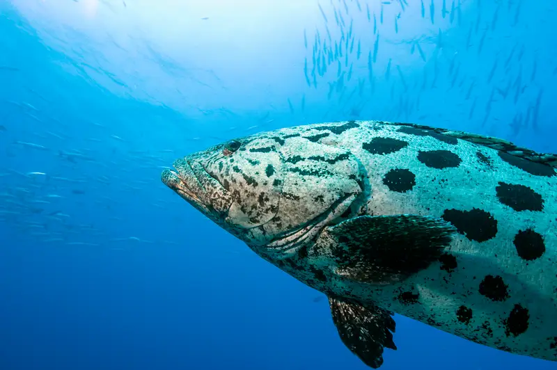
Dixon's Pinnacle
reef manta ray · mobula ray · giant grouper · napoleon wrasse
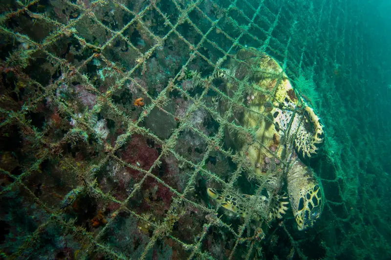
Barren Island
reef manta ray · whitetip reef shark · green turtle · hawksbill turtle
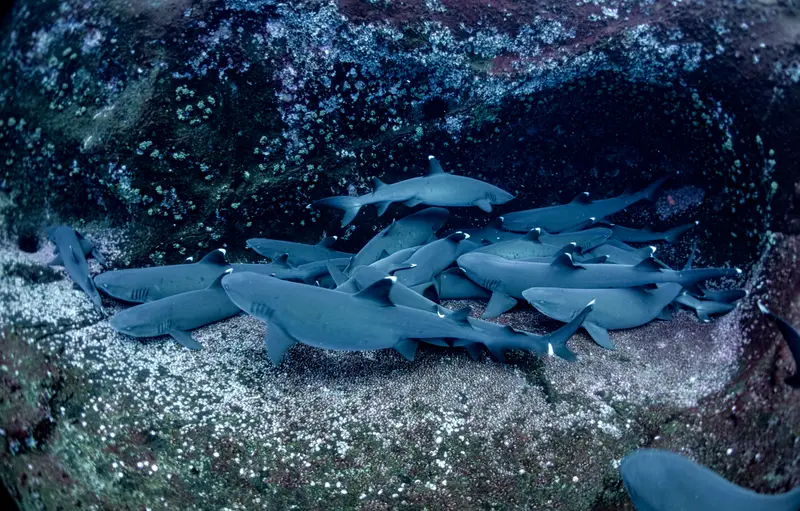
Invisible Bank
grey reef shark · whitetip reef shark · tawny nurse shark · dogtooth tuna
What divers say
India's diving secret. Healthy reefs, almost no other divers, and the food is fantastic.
Good to know
Permit
Foreign nationals need a Restricted Area Permit, issued on arrival.