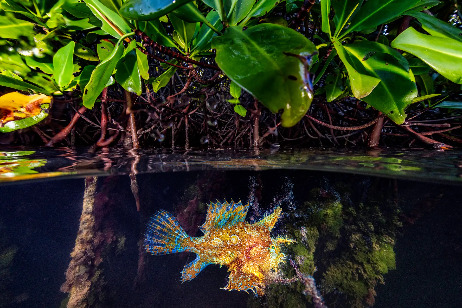
Bonaire · Caribbean
Bonaire National Marine Park
Famous year-round shore diving destination with consistently accessible reefs.
Bonaire is the easiest world-class diving in the Caribbean — a 30km coastline of marked shore dive sites, calm leeward water, and a marine park that has been protected since 1979. Rent a pickup, load tanks in the back, and dive whatever you can find a parking spot for.
Good season
Year-round; outside hurricane belt. May–September is calmest. Water 26–29°C.
Trip duration
5–7 nights with a rental truck and unlimited shore tanks is the local rhythm.
Dive style
Self-guided shore diving on gentle slopes; boat diving for Klein Bonaire and Washington Slagbaai.
Dive level
Open Water; Bonaire is one of the best places to log dives independently.
Reef health
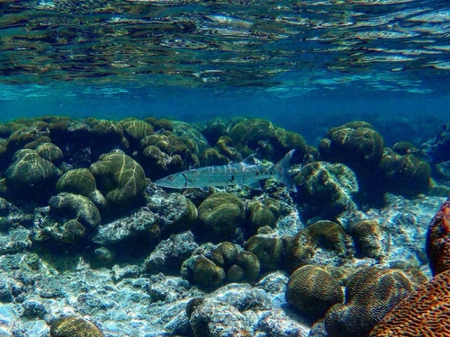
What you’ll actually findThis reef has lost most of its live coral. Fish life and topography may still be worth diving, but expect a very different reef from the older photos.
Coral reef health
How is this calculated?On current trend, no live coral by ~2037. Losing about 1.5% cover per year — roughly 13 years of reef left to see if nothing changes.
Heat stress right now
No abnormal heat right now. Corals stay coloured.
NOAA Coral Reef Watch · updated May 2026 · 0 °C-week heat dose
What to expect on a dive
Shore diving access is still world-class. The reef is rebuilding — expect smaller coral colonies than older photos. STINAPA conservation fee directly funds recovery, so go and support it.
Sources, methodology, and the raw numbers
Raw observed numbers
- Coral cover: 19% (survey Nov 2024, AGRRA + NCRMP combined Caribbean transect)
- Bleached: 24%
- Recent mortality: 10%
- Bonaire saw widespread bleaching during the 2023 marine heatwave; recovery is patchy but ongoing.
Raw thermal numbers
- NOAA CRW alert level: No stress
- Degree Heating Weeks: 0 °C-wk
- SST anomaly: +0.6 °C
How we summarise this
Observed coral cover, bleaching, and mortality come from named in-situ surveys with a stated date and method — they describe one snapshot of one reef and do not extrapolate to neighbouring sites. Current thermal stress is satellite-derived from NOAA Coral Reef Watch at ~5 km resolution; it indicates risk, not observed coral damage. We deliberately separate observed condition, current thermal stress, and projection — and we never publish a projection without a documented model and uncertainty.
Sources
- Atlantic and Gulf Rapid Reef Assessment — AGRRA Program / Perry Institute for Marine Science
- NOAA National Coral Reef Monitoring Program — NOAA Coral Reef Conservation Program
- NOAA Coral Reef Watch — U.S. National Oceanic and Atmospheric Administration
- AIMS Long-Term Monitoring Program — Australian Institute of Marine Science
- Global Coral Reef Monitoring Network — GCRMN / ICRI
- Reef Check — Reef Check Foundation
- NOAA CoastWatch / OceanWatch — NOAA NESDIS / STAR
- Allen Coral Atlas — Arizona State University Center for Global Discovery and Conservation Science
- Great Barrier Reef Marine Park Authority — Australian Government
- International Coral Reef Initiative — ICRI Secretariat
- Reef Life Survey — Reef Life Survey Foundation
- NASA PO.DAAC — NASA Jet Propulsion Laboratory / Caltech
- Copernicus Marine Service — Mercator Ocean International for the European Union
- NASA Ocean Color (OB.DAAC) — NASA Goddard Space Flight Center / Ocean Biology Processing Group
- Argo float network — International Argo Program / UCSD
- CoralWatch — University of Queensland
- IMOS / AODN — Integrated Marine Observing System / Australian Ocean Data Network
- WRI Reefs at Risk Revisited — World Resources Institute
- Ocean Health Index — OHI partnership (Conservation International + UCSB + NCEAS)
- IPCC Special Report on the Ocean and Cryosphere (SROCC) — Intergovernmental Panel on Climate Change
- GOA-ON — Global Ocean Acidification Observing Network — GOA-ON Secretariat + IOC-UNESCO
- HAEDAT — Harmful Algae Event Database — IOC-UNESCO Intergovernmental Panel on Harmful Algal Blooms
- NCEI Marine Microplastics — NOAA National Centers for Environmental Information
Reef condition changes year to year. If you visit, consider supporting responsible-travel and conservation operators on the ground.
Pressure on this reef
Protection · fishing · what you can doProtected-area status
Strict MPAInside a strict marine protected area with active enforcement.
Fishing pressure
Moderate fishing pressureDominant pressures
- lionfish invasion
- warming
- SCTLD disease
3 Green Fins-verified operators known at this location.
What you can do
Bonaire National Marine Park funds itself with the mandatory $40 STINAPA tag. Caribbean MPAs (Cayman, Saba, Bonaire, Bonaire, Cuba JdR) are some of the world's best-managed. Pay the conservation tag fee at entry and join a lionfish cull if offered.
Protection status sourced from Protected Planet / WDPA and refined with Marine Protection Atlas. Fishing pressure proxy is Global Fishing Watch AIS data. See the methodology for what these sources can and can’t prove.
Pollution & water-quality
What divers should knowSCTLD coral disease outbreak
SEVERESince 2019
Bonaire's SCTLD outbreak has affected over 30 coral species. STINAPA monitors and treats affected colonies; recovery is patchy.
Coastal-development runoff
WATCHSince 2020
New resort and housing construction on the leeward coast has increased sediment runoff at a handful of shore-dive sites.
What this means for your trip
Despite SCTLD, Bonaire shore diving remains world-class — fish life and topography are intact. Pay the STINAPA tag; it directly funds disease treatment.
Dive sites here
5 curated
Salt Pier
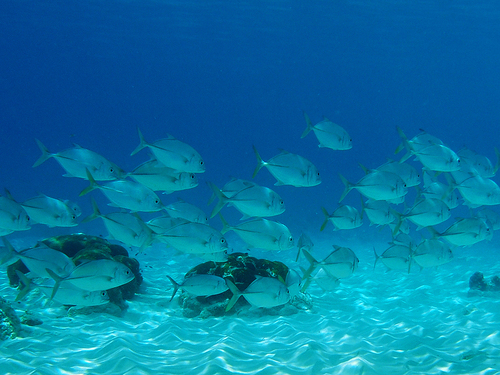
Massive industrial pier on Bonaire's southwest coast with pylons coated in orange cup coral, sponges, and resident schools of horse-eye jack…

Hilma Hooker Wreck
72 m cargo freighter scuttled in 1984 after a drug-smuggling bust, lying on its starboard side between two reefs at 30 m. The mast reaches u…

1000 Steps
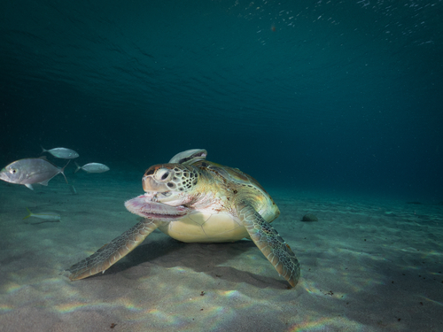
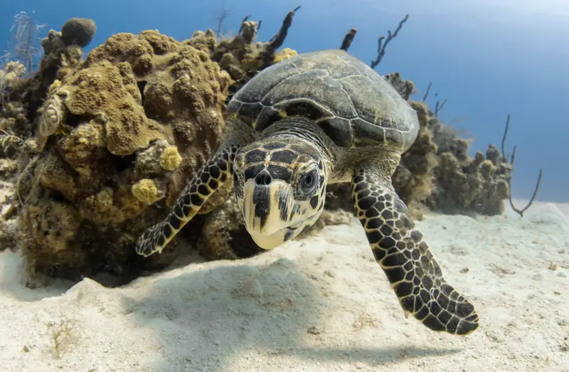
Northern shore dive named for the (actually 67) limestone stairs down to the beach. Healthy hard-coral reef with consistent turtle sightings…

Karpata
Northern shore dive named for a 19th-century cochineal plantation whose ruined Landhuis still stands above the entry point. Iron ship anchor…

Karpata
Northwest-coast shore dive famed for elkhorn coral standing several feet tall just below the surface, fronting a steep drop-off that walls d…
Gear
What to bringSite-specific add-ons
Some dive sites here call for extra gear. Check the individual site page for full context.
- Dive light — Pylon shadows hide macro subjects. · Salt Pier
- Wreck-trained guide — Penetration past the daylight zone needs training. · Hilma Hooker Wreck
- Surface marker buoy — Boat traffic on the surface during peak season. · 1000 Steps
What divers say
“Five dives a day for a week, no boat schedule, no waiting — Bonaire spoiled me for every other Caribbean trip.”