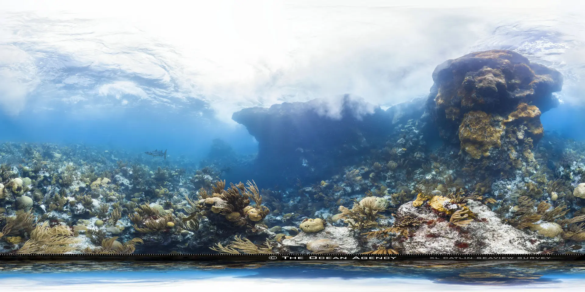
Providencia
Colombia · Caribbean
Providencia in the Colombian Caribbean is a tiny Spanish-Creole island 700km from the mainland — quiet wall and reef diving, very few other divers, and a culture distinct from anywhere else in Colombia.
Old Providence McBean Lagoon National Park
Awarded 2022. Covers the island's northeast lagoon and reef, not every Providencia dive site.
How this reef is doing
ⓘ How we measure thisReef state
Fish biomass, abundance and density are all markedly higher inside this national park than on the unprotected reef just outside, a refuge that also shelters threatened species (Prato Valderrama et al. 2024).
Coral cover
Fish life
Heat
Warmer than usual right now, but not hot enough to bleach.
Fishing
Quiet water, and fishing is fully banned here.
Sources · AGRRA and GCRMN reef surveys · NOAA Coral Reef Watch · Global Fishing Watch and reef gravity
Coral cover over time
Live coral cover, by survey year
Across surveys in 2014 and 2024, live coral cover here has fallen from 31% to 26%. Every point is a real survey reading, never a projection.
Live coral cover, percent by year
| Year | Coral cover |
|---|---|
| 2014 | 31% |
| 2024 | 26% |
What you will see
26 species across the dive sites here
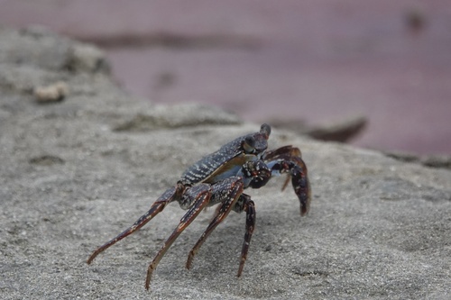
Sally Lightfoot Crab
Seen 3 months ago
at San Andres
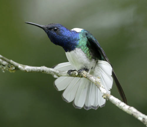
White-Necked Jacobin
Seen 3 months ago
at Taganga
Least concern
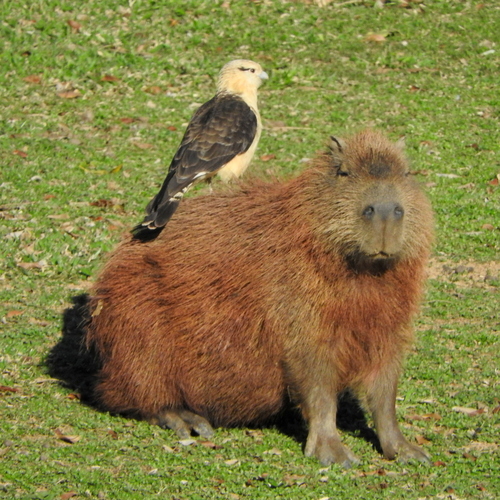
Yellow-Headed Caracara
Seen 3 months ago
at Taganga
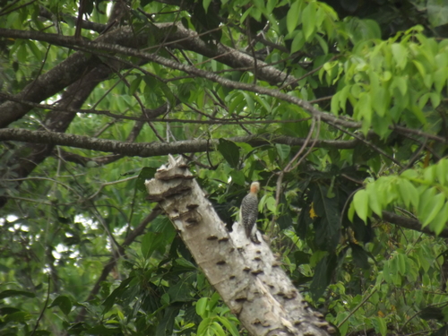
Red-Crowned Woodpecker
Seen 4 months ago
at Taganga
Least concern
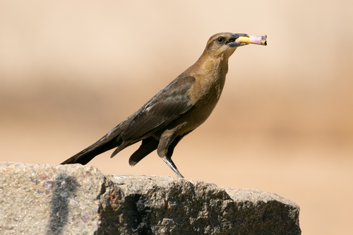
Great-Tailed Grackle
Seen 4 months ago
at Taganga
Least concern
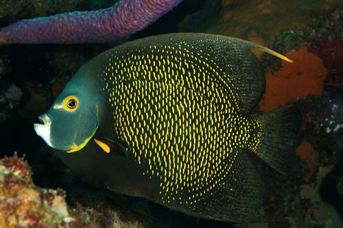
Angelfish
Seen 5 months ago
at Taganga
Least concern
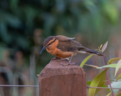
Bicolored Wren
Seen 5 months ago
at Taganga
Least concern
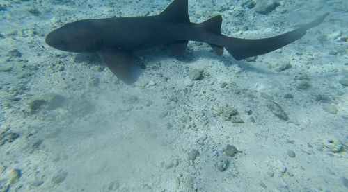
Nurse shark
Seen 5 months ago
at Felipe's Place
Vulnerable
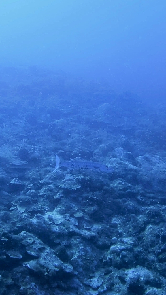
Great barracuda
Seen 6 months ago
at Felipe's Place
Least concern
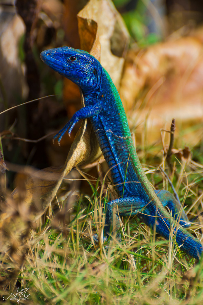
Vivid Blue Rainbow Lizard
Seen 6 months ago
at San Andres
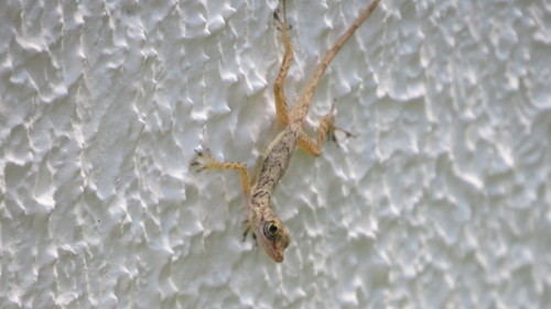
Isla San Andrés Anole
Seen 6 months ago
at San Andres
Least concern
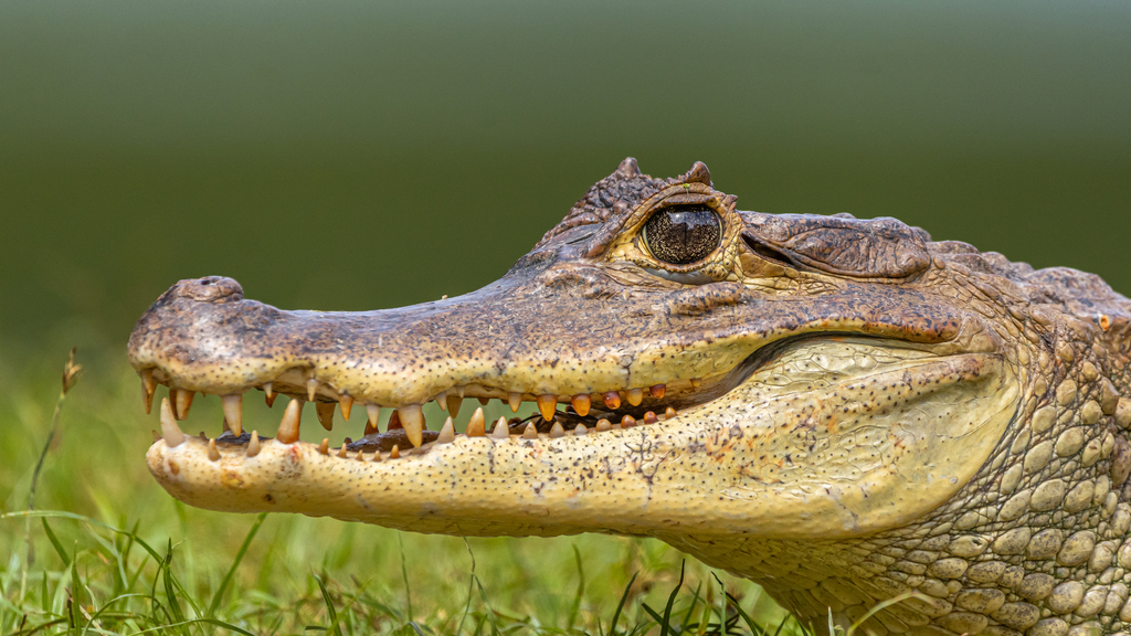
Spectacled Caiman
Seen 6 months ago
at San Andres
Least concern
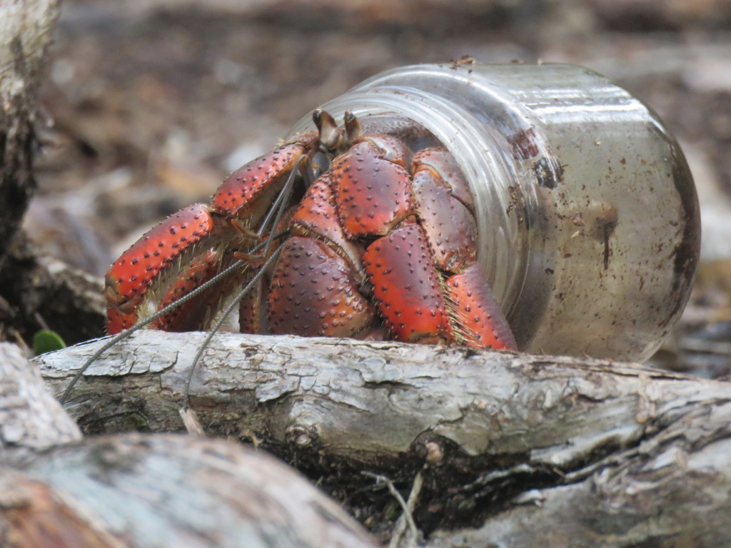
Caribbean Land Hermit Crab
Seen 6 months ago
at Capurgana
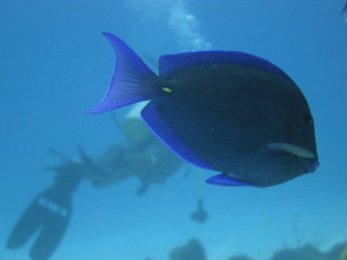
Atlantic Blue Tang
Seen 7 months ago
at San Andres
Least concern
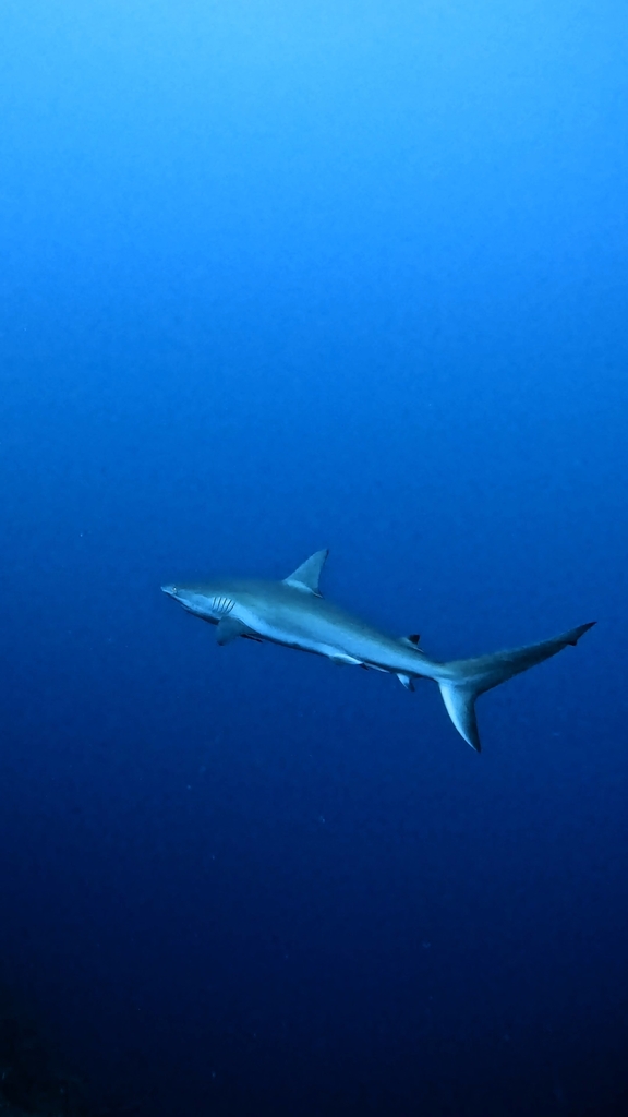
Caribbean reef shark
Seen 9 months ago
at Felipe's Place
Endangered
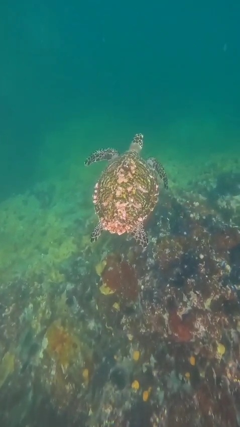
Hawksbill turtle
Seen Aug 2025
at Felipe's Place
Critically endangered
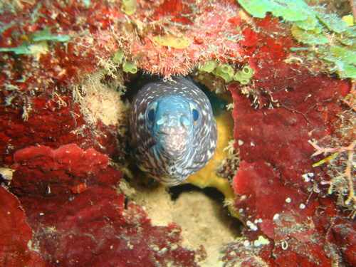
Spotted moray
Seen Jul 2025
at Blue Wall (Pared Azul)
Least concern
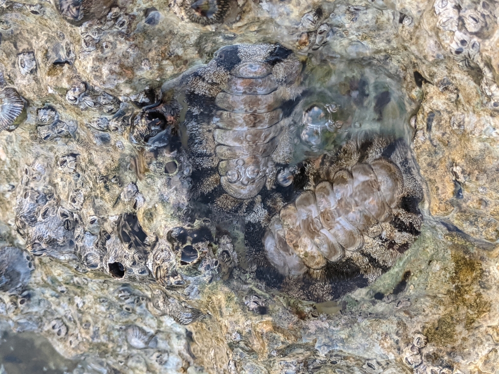
West Indian Fuzzy Chiton
Seen Jul 2025
at Capurgana
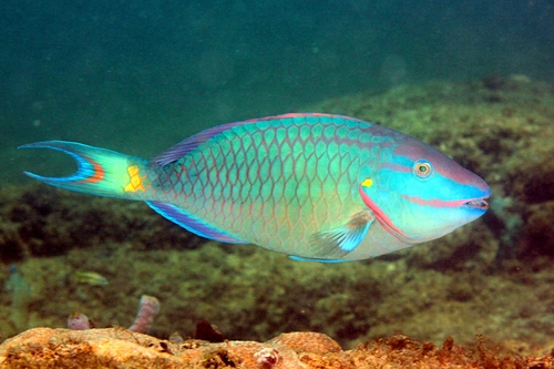
Parrotfish
Seen Jun 2025
at Taganga
Least concern
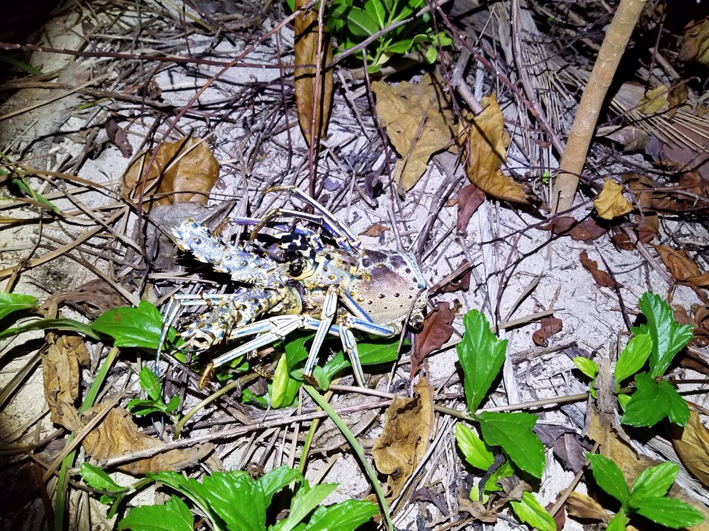
Caribbean spiny lobster
Seen May 2025
at Felipe's Place
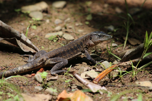
Delicate Ameiva
Seen Apr 2025
at Capurgana
Least concern
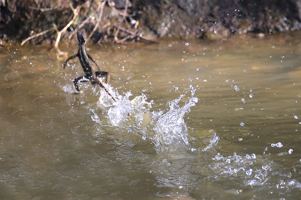
Common Basilisk
Seen Jan 2025
at Capurgana
Least concern
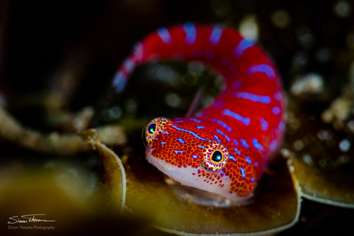
Damselfish
Seen Jul 2024
at Taganga
Least concern
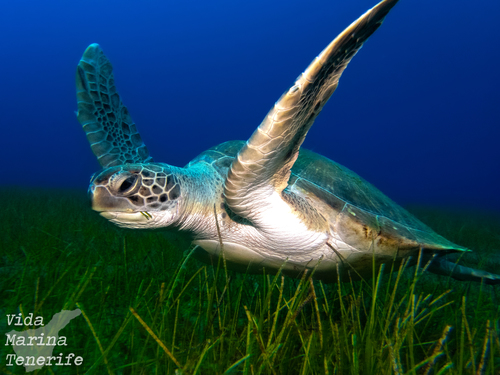
Green Sea Turtle
Seen Jun 2024
at San Andres
Least concern
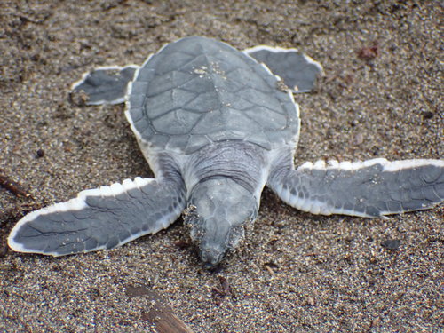
Green turtle
Seen year round
at Blue Wall (Pared Azul)
Least concern
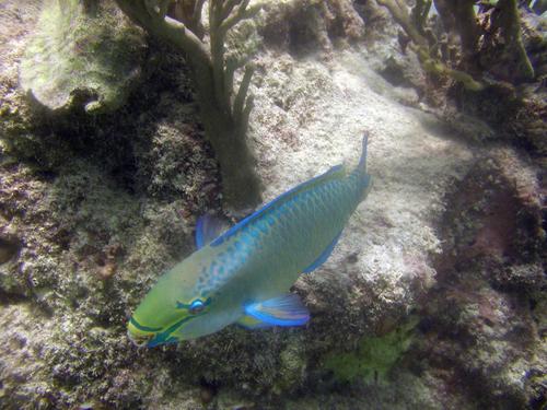
Queen parrotfish
Seen year round
at Blue Wall (Pared Azul)
Least concern
Dive sites
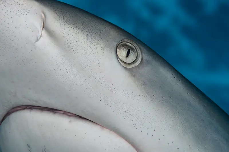
Felipe's Place
nurse shark · great barracuda · hawksbill turtle · caribbean spiny lobster
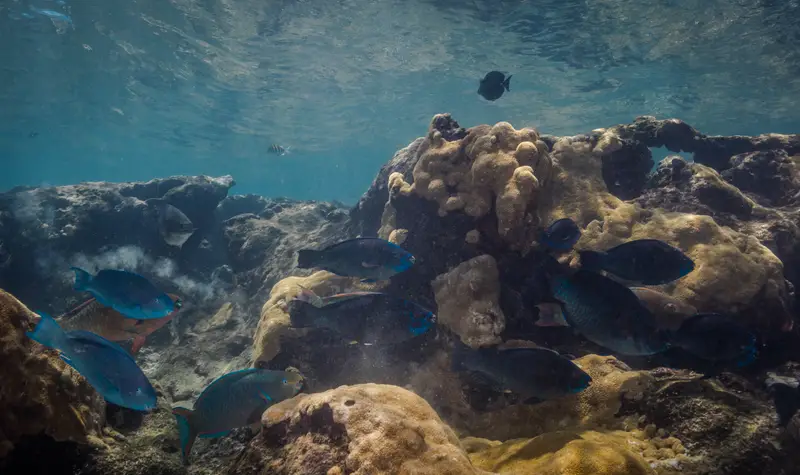
Capurgana
parrotfish · damselfish · angelfish · caribbean land hermit crab
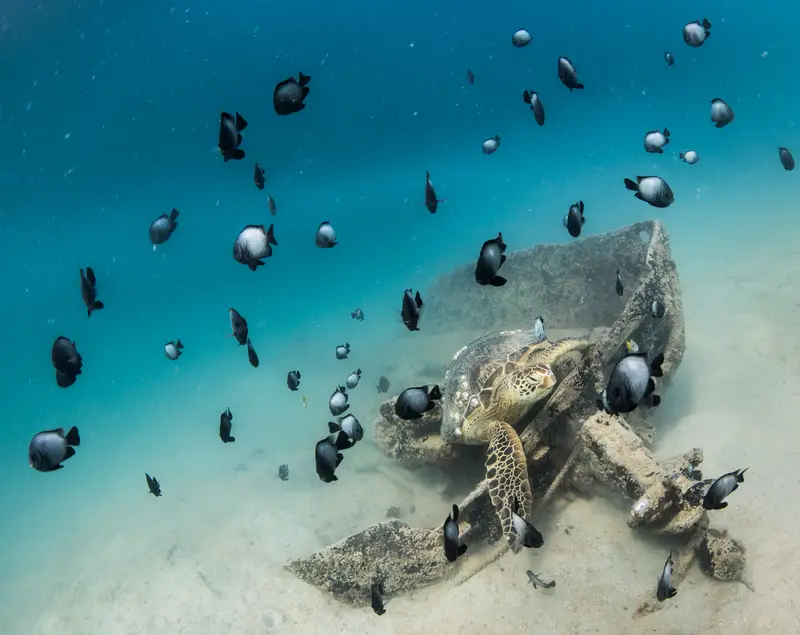
Taganga
parrotfish · damselfish · angelfish · white-necked jacobin
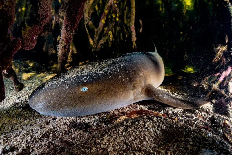
Blue Wall (Pared Azul)
caribbean reef shark · nurse shark · green turtle · spotted moray
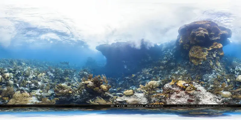
San Andres
vivid blue rainbow lizard · isla san andrés anole · sally lightfoot crab · spectacled caiman
What divers say
It's a long way to get there and that's exactly why the diving still feels like the 1980s.
Good to know
Limited infrastructure
Two or three dive ops on island. Book ahead.