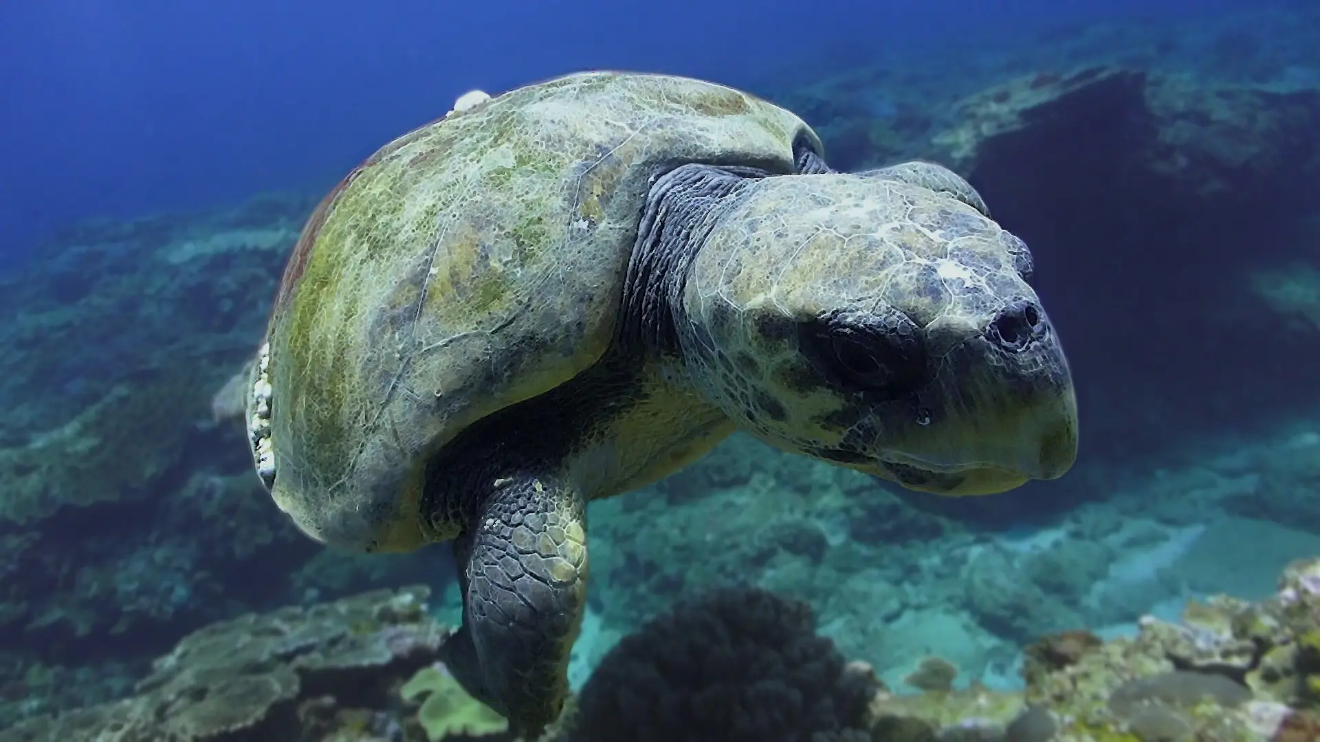
Riviera Maya Cenotes
Mexico · Yucatán Peninsula
The Yucatán cenotes are freshwater sinkholes connecting a vast cave system — filtered, gin clear water, dramatic light beams, halocline (fresh meeting salt) layers, and otherworldly geology. Cavern diving is open water style; full cave penetration is technical.
How this reef is doing
ⓘ How we measure thisReef state
Cenote freshwater cave system — not a coral reef. The metric here is water clarity and cave geology, both unchanged.
Coral cover
Fish life
Heat
Warmer than usual right now, but not hot enough to bleach.
Fishing
Some fishing is allowed here, in marked zones.
Sources · Reef survey · NOAA Coral Reef Watch · Global Fishing Watch and reef gravity
Coral cover over time
Live coral cover, by survey year
Across surveys in 2014 and 2024, live coral cover here has held steady at about 0%. Every point is a real survey reading, never a projection.
Live coral cover, percent by year
| Year | Coral cover |
|---|---|
| 2014 | 0% |
| 2024 | 0% |
What you will see
23 species across the dive sites here
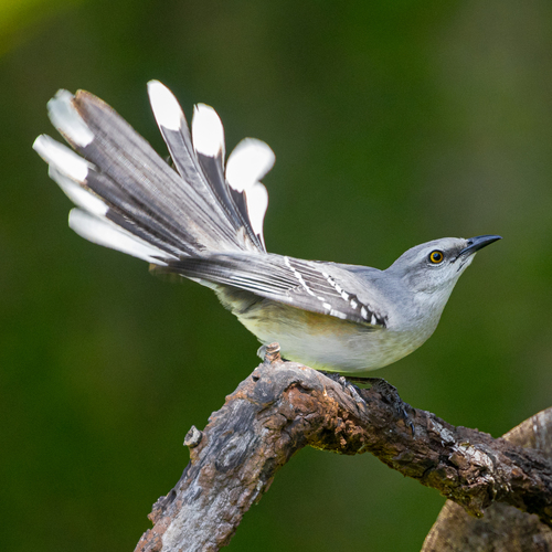
Tropical Mockingbird
Seen 3 months ago
at Chac Mool
Least concern
Brown Anole
Seen 3 months ago
at The Pit
Least concern
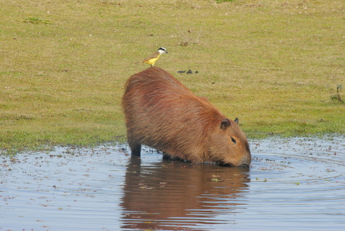
Great Kiskadee
Seen 3 months ago
at Chac Mool
Least concern
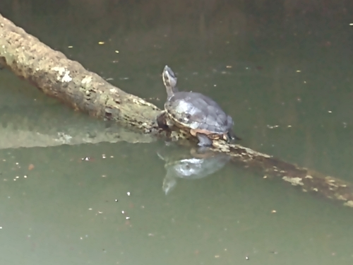
Mesoamerican slider
Seen 3 months ago
at Cenote Carwash
Mesoamerican slider turtle
Seen 3 months ago
at Gran Cenote
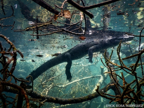
Morelet's crocodile
Seen 3 months ago
at Cenote Carwash
Least concern
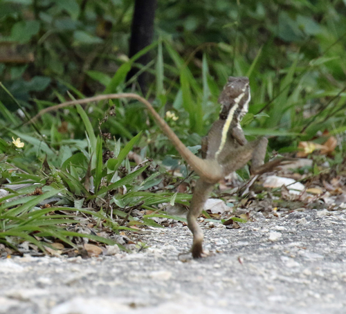
Brown Basilisk
Seen 3 months ago
at Gran Cenote
Least concern
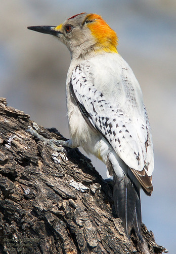
Golden-Fronted Woodpecker
Seen 3 months ago
at Cenote Angelita
Least concern
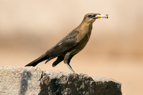
Great-Tailed Grackle
Seen 3 months ago
at Dos Ojos
Least concern
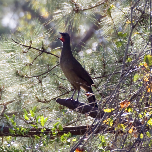
Plain Chachalaca
Seen 3 months ago
at Dos Ojos
Least concern
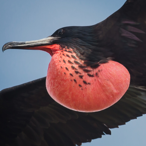
Magnificent Frigatebird
Seen 3 months ago
at Gran Cenote
Least concern
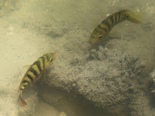
Mexican mojarra
Seen 3 months ago
at Cenote Carwash
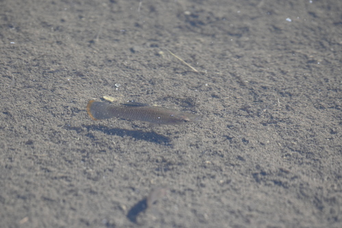
Mexican molly
Seen 4 months ago
at Chac Mool
Least concern
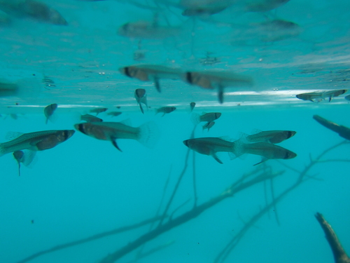
Mosquitofish
Seen 5 months ago
at Cenote Angelita
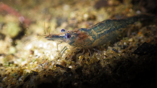
Freshwater shrimp
Seen 5 months ago
at The Pit
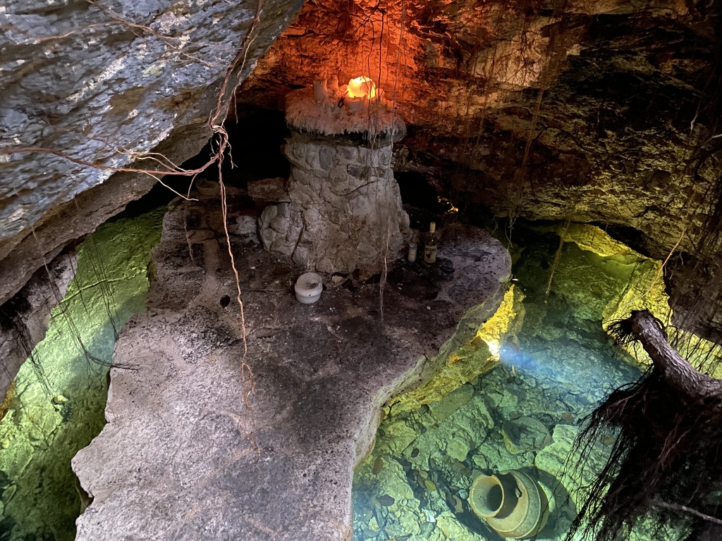
Mexican blind cavefish
Seen 5 months ago
at Dos Ojos
Least concern
Bone fossils (Pleistocene fauna)
Seen year round
at The Pit
Catfish
Seen year round
at Dos Ojos
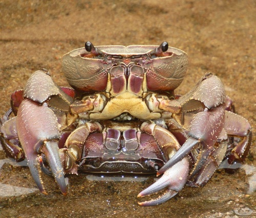
Freshwater crab
Seen year round
at Dos Ojos
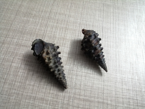
Freshwater snail
Seen year round
at Gran Cenote
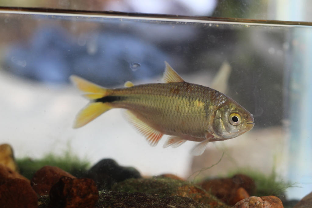
Mayan tetra
Seen year round
at Cenote Angelita
Least concern
Mexican tetra
Seen year round
at Chac Mool
Least concern
Blind cavefish
Rare sighting
at Chac Mool
Dive sites
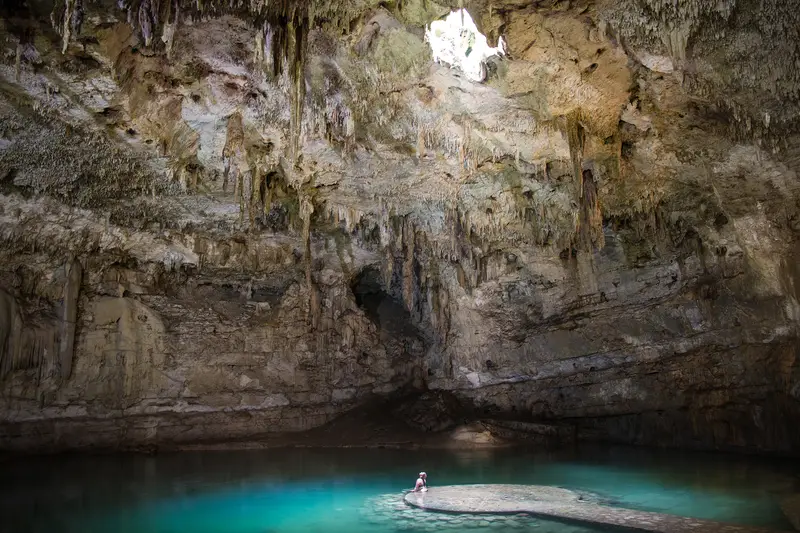
Dos Ojos
mexican blind cavefish · freshwater crab · catfish · great-tailed grackle
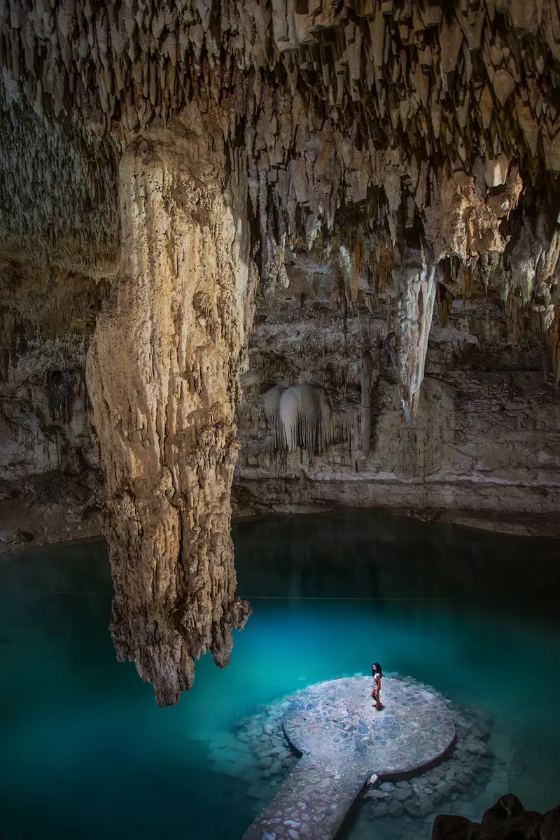
The Pit
bone fossils (pleistocene fauna) · great-tailed grackle · tropical mockingbird · great kiskadee
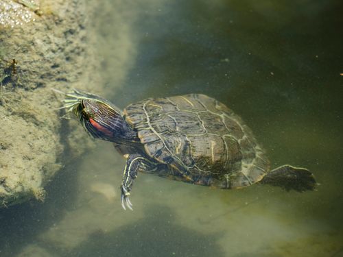
Gran Cenote
mesoamerican slider turtle · freshwater snail · great-tailed grackle · tropical mockingbird
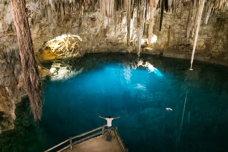
Cenote Angelita
mosquitofish · mayan tetra · great-tailed grackle · tropical mockingbird
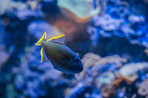
Chac Mool
mexican molly · mexican tetra · blind cavefish · great-tailed grackle
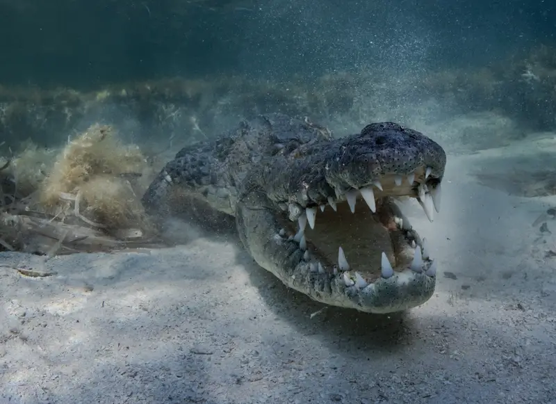
Cenote Carwash
mesoamerican slider · mexican mojarra · mexican tetra · morelet's crocodile
What divers say
Sunbeams through the entrance of Dos Ojos like cathedral glass underwater. I'll keep coming back forever.
Good to know
Mask seal
Bring a backup. Fresh water + no current means tiny leaks are noticed.
Stay on the line
Even in cavern zones, treat the guideline as sacred. Pull yourself along it.